


Difficulty: easyNew
Alpe-Adria: cycle route Salzburg – Grado
- 374 kmDistance
- 8 daysDays
- June, SeptemberBest months
- Austria, ItalyCountries
Your next bike trip?
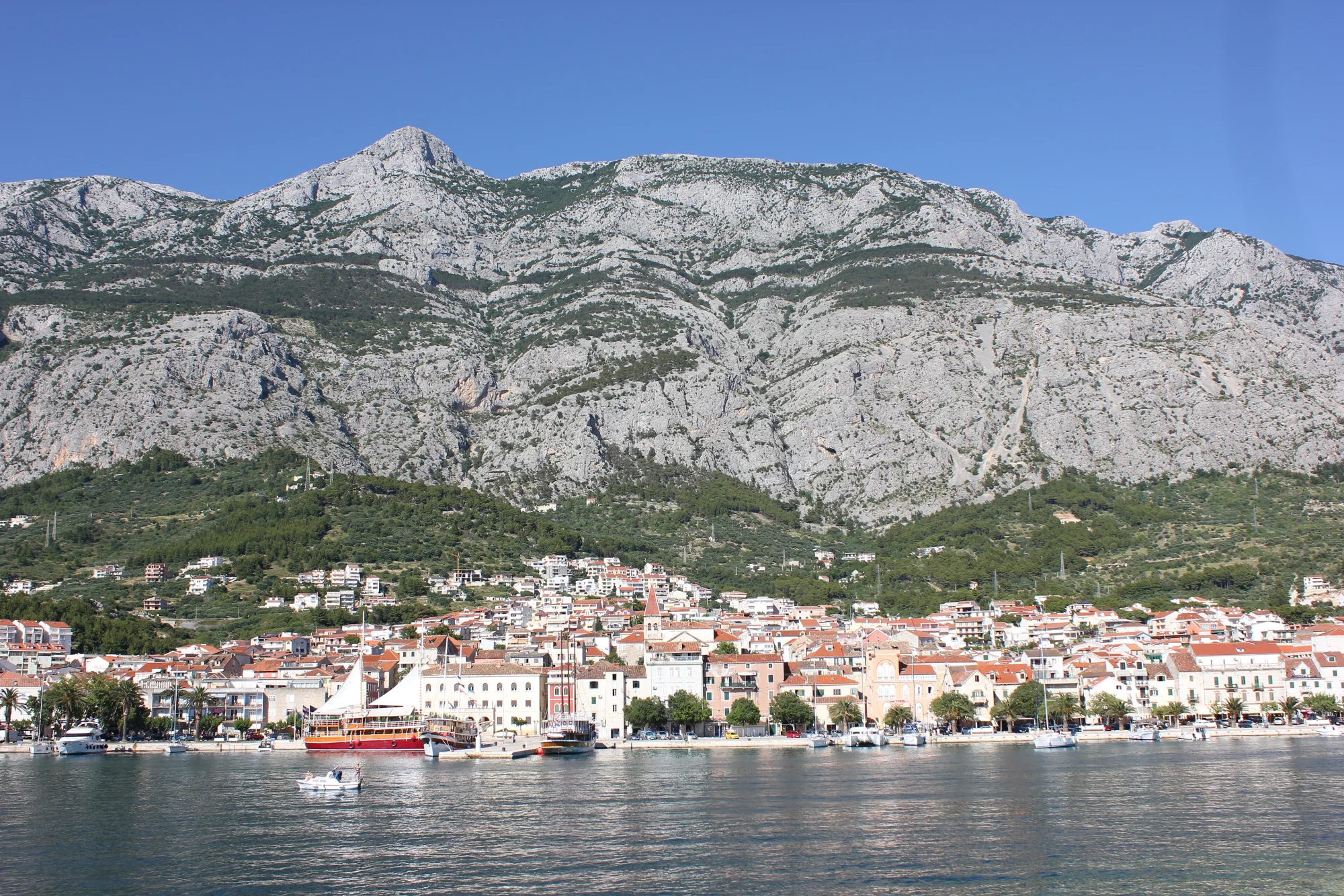
254 km in six riding days along the Adriatic, from Split by ferry across the Pelješac peninsula to Dubrovnik.

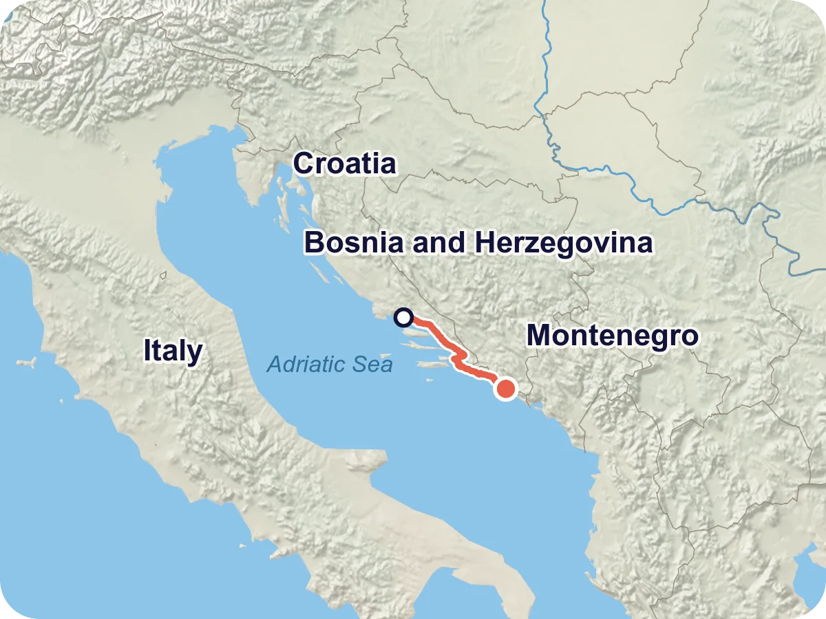
Map © OpenStreetMap contributors, OpenFreeMap, OpenMapTiles. Relief: Mapterhorn. Locator map: Natural Earth
The trip starts on the waterfront promenade in Split, in front of Diocletian's Palace. You stay by the sea as far as Stobreč, then the route heads inland via Tugare to Omiš at the mouth of the Cetina. On day two you ride up the river and via Brela to the Makarska Riviera, on day three along the coast to Ploče. There you take the ferry to Trpanj on the Pelješac peninsula. Through wine villages and along the south coast of the peninsula you reach Ston, and finally Dubrovnik via Slano and Zaton. The highest point comes on the last day after Majkovi, 414 m in the elevation profile.
The route follows EuroVelo 8, the Mediterranean Route. There are no signs for it here: the official track lists the sections as far as Ston as developed but not signed, and the last one to Dubrovnik as only partially developed. The only official description with figures dates from a survey in autumn 2017. Since then the Pelješac Bridge has opened and traffic on the peninsula has been rearranged. The bridge is closed to bicycles. The ferry from Ploče to Trpanj is therefore the way onto the peninsula, and it also bypasses the coastal strip of Bosnia and Herzegovina at Neum.
Length and ascent come from the route calculation in Pedalglobe: 254.0 km, of which 15.5 km are on the ferry, and 3,476 m of climbing. The official report of 2017 gives 242 km and 3,020 m for the same route. In three places the calculated line differs from the official track: just before Omiš, before Makarska and between Doli and Slano. What that means is described in the stages. There is no guarantee that the way is passable. Read the route notes before you plan.
Plan it yourself: This trip and everything here: planned in Pedalglobe in a few minutes, with elevation profile, climate for every day and what applies at each border.
28 km · 435 m of climbing
From the waterfront promenade you ride out of the city, the first 3 km or so on a busy road. You stay by the sea as far as Stobreč, then the route avoids the coast road and climbs via Žrnovnica and Srinjine to Tugare at 325 m. The last kilometres drop steeply to the mouth of the Cetina. Here the calculated route takes a path with a loose surface for 1.6 km, on which you lose about 220 m of height. The official track stays on the road here.
45 km · 747 m of climbing
The day with 747 m of climbing. First up the Cetina via Kučiće and Slime, with short tunnels according to the map, up to 295 m. Then 5.5 km on the coast road D8 with heavy traffic down to Brela. From there you ride on village streets and seaside paths via Baška Voda and Promajna, about 4 km of it on paths you share with people on foot, and two pieces of 1 km each without asphalt. After Promajna the route takes another 4.3 km of busy road to just before Makarska.
72 km · 560 m of climbing
The day with the most traffic and the ferry at the end. It is 57 km to Ploče along the riviera via Tučepi, Podgora, Igrane, Drvenik and Gradac. About 30 km of that run on busy road, the longest piece being 10.6 km from Gradac to Ploče, with 8.2 km between Živogošće and Drvenik before it. In between you ride on quiet village streets, and before Igrane 1.5 km on compacted track. Just before Ploče lie the Baćina lakes. Then the ferry carries you across to Trpanj on Pelješac in one hour, 15.5 km without pedalling in the elevation profile. Set off early so that you do not depend on the last sailing.
56 km · 782 m of climbing
Across the peninsula, and with 782 m the day with the most climbing. Right after Trpanj the road climbs via Oskorušno and Kuna Pelješka to 360 m. Before the wine village of Potomje come just under 2 km of busy road, and after it the 400 m Dingač tunnel leads down to the south coast at Trstenik. Via Žuljana you climb again to Dubrava and ride 2.9 km on a compacted farm track to Putniković. After that you ride 3.8 km on the main road of the peninsula with heavy traffic and switch to the old road via Sparagovići at Zaradeže. From 246 m you roll down to the foot of the walls of Ston.
20 km · 327 m of climbing
The shortest day leaves time for Ston in the morning. From Ston you climb to Doli at 149 m. From there until just before Slano the calculated route follows the coast road D8 with heavy traffic for 6.7 km. The official track heads inland here and climbs higher in return. The day ends above the bay of Slano at about 80 m.
33 km · 627 m of climbing
Up once more: via Majkovi to 414 m, the highest point of the trip, with views of the islands off the coast. Then down to Trsteno with its arboretum and 3.3 km on the D8 to Orašac. After Orašac quiet roads lead down to the bay of Zaton. There you join the D8, a dangerous spot with poor visibility according to the 2017 report. The next 7 km run in heavy traffic across the bridge over the Rijeka dubrovačka and into the city. Ride this day early in the morning.
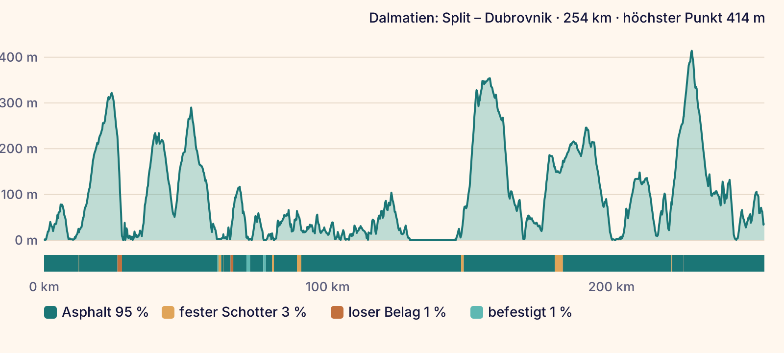
According to the map (OpenStreetMap) you ride 95 % on asphalt, 3 % on compacted track and 1 % on loose surface, with a small remainder of paving. Four pieces stand out without asphalt: a steep path with a loose surface just before Omiš (1.6 km), a compacted track before Igrane (1.5 km), a farm track between Dubrava and Putniković on Pelješac (2.9 km) and two short pieces of about 1 km each between Baška Voda and Makarska. About 6 km run on seaside paths that you share with people on foot, most of them between Brela and Makarska.
On traffic: only 18 % of the route runs on signposted cycle routes, and there is 1 km of separate cycle path. According to the map you ride 17 % on quiet roads, 45 % on ordinary roads and 26 % on busy roads. These 67 km with heavy traffic are here: the way out of Split (2.7 km), the coast road D8 above Brela (5.5 km), before Makarska (4.3 km), three pieces between Makarska and Podgora (7.4 km together), between Živogošće and Drvenik (8.2 km), between Zaostrog and Gradac (3.8 km), from Gradac to Ploče (10.6 km), on Pelješac near Potomje (1.9 km) and after Putniković (3.8 km), between Doli and Slano (6.7 km), between Trsteno and Orašac (3.3 km) and from Zaton across the bridge into Dubrovnik (7.1 km). Almost half of it falls on day three.
None of the sources we read mentions cycle lanes on the coast road. According to the 2016 traffic count, about twice as many vehicles use it in July and August as on the annual average, and we have not found newer figures. On Pelješac the route passes through the Dingač tunnel shortly before the south coast, 400 m long and dimly lit according to the 2017 report. What the surface is really like changes with weather and roadworks.
Overall: moderate. Short days and almost all asphalt, but a lot of climbing and 67 km on busy roads. There you need calm nerves and good visibility.
The Pedalglobe scale: the same five features and levels 1 to 5 for every trip.
A trip for anyone who rides confidently in traffic with luggage and likes hills. The days are short, 42 km on average, but none of them is flat: 3,476 m of climbing over 239 km in the saddle, three days with more than 600 m, climbs from the coast up to 325, 360 and 414 m. The longest day has 72 km, 15.5 km of it on the ferry.
Traffic is what makes it hard. 67 km, a good quarter of the route, run on busy roads, mostly on the coast road D8 and almost without cycle paths. On day three it is about 30 km, and before Dubrovnik come another 7 km with heavy traffic, from Zaton across the bridge into the city. In 2016 the count on the D8 there was 8,500 vehicles a day on the annual average and 15,000 in summer. The official report calls this piece unavoidable and the junction in Zaton dangerous. Ride the last stage early in the morning.
Added to that are seaside paths with steps and barriers on the Makarska Riviera, a dark tunnel on Pelješac and a route without signs. Whether the obstacles of 2017 are still there today is not documented.
Best months: May, September
The best months to set off are May and September. In May the mean daily highs are 22 to 23 degrees, in September 25 degrees, with nights of 15 to 18 degrees. Riding is good from May to mid-June and from September to early October. June already gets hot, with a mean of 7 days of at least 30 degrees in Split.
July and August are the hardest time: in Split the mean daily highs are 30 degrees, 17 to 18 days a month reach at least 30 degrees, and on 22 to 24 nights it does not cool below 20 degrees. On top of that comes high-season traffic on the coast road. Dubrovnik is slightly less hot in summer but much wetter than Split in autumn: 125 mm in October against 77 mm, 143 mm in November against 116 mm.
The table shows Split at the start of the trip. Daily highs and lows are long-term means for 1971 to 2000, precipitation is the mean for 1948 to 2024, both from the Croatian Meteorological and Hydrological Service (DHMZ), rounded to whole degrees and millimetres. The sea is about 17 degrees in May and just under 22 degrees in September.
The ferry matters for timing too: in 2026 the summer fare applied from late May to late September. The values are means over many years and say nothing about any single day.
| Month | Day | Night | Precipitation | For cycling |
|---|---|---|---|---|
| January | 10 °C | 6 °C | 78 mm | poor |
| February | 11 °C | 6 °C | 65 mm | poor |
| March | 14 °C | 8 °C | 63 mm | poor |
| April | 17 °C | 11 °C | 62 mm | marginal |
| May | 23 °C | 15 °C | 58 mm | good |
| June | 27 °C | 19 °C | 49 mm | good |
| July | 30 °C | 22 °C | 27 mm | marginal |
| August | 30 °C | 22 °C | 41 mm | marginal |
| September | 25 °C | 18 °C | 71 mm | good |
| October | 20 °C | 14 °C | 77 mm | marginal |
| November | 15 °C | 10 °C | 116 mm | poor |
| December | 11 °C | 7 °C | 104 mm | poor |
Winter, not cycling season. In Split a mean of 10 degrees by day and 6 at night. Dubrovnik gets 121 mm of precipitation. The bura blows most often in winter.
Still winter, 11 degrees by day and 6 at night. Split gets 65 mm, Dubrovnik 109 mm.
First mild days with 14 degrees, 8 at night. In Split the mean wind is strongest from November to March.
17 degrees by day, 11 at night. A mean of 10 days with rain, and the sea is only about 14 degrees.
Best time. 23 degrees by day in Split and 22 in Dubrovnik, 15 at night. No day of 30 degrees on average, 9 to 10 days with rain.
Dry and sunny, 27 degrees by day and 19 at night. Split already has 7 days of at least 30 degrees. Best in the first half of the month.
Hottest month, 30 degrees by day and 22 at night. In Split a mean of 18 days of at least 30 degrees and only 27 mm of precipitation. Twice as much traffic on the coast road as on the annual average.
As hot as July, 30 degrees by day, 17 days of at least 30 degrees. High season on the coast road, and the sea is almost 24 degrees.
Best time. 25 degrees by day, 18 at night, and the sea is still just under 22 degrees. Dubrovnik already gets 96 mm of precipitation.
Still 20 degrees by day, 14 at night. It gets wet towards the finish, Dubrovnik gets 125 mm. Good for the first days of the month.
Short days and a lot of rain. In Split 15 degrees by day and 116 mm, in Dubrovnik 143 mm.
Winter, not cycling season. 11 degrees by day, 7 at night, 104 mm of precipitation in Split and 139 mm in Dubrovnik.
If you combine the last two days, you ride about 53 km with 954 m of climbing from Ston to Dubrovnik. The official report calls this part the most demanding of the route.
From Drvenik on day three a Jadrolinija car ferry runs to Sućuraj at the eastern tip of the island of Hvar. Bicycles are allowed on the car ferries according to the price list. The ride on the island is not calculated in Pedalglobe.
From the main road on Pelješac a road branches off to Orebić, where a car ferry crosses to Korčula. From the port of Vela Luka in the west of the island a car ferry runs to Split. That gets you back to the start without a fast boat, or lets you begin the trip via the island. Lengths and ascent are not calculated.
It sounds obvious but cannot be planned reliably with a bike. No car ferry runs between Brač and Hvar or between Hvar and Korčula. The catamarans of Jadrolinija and TP Line do not carry bicycles. Only Kapetan Luka takes bikes, for an extra fee and with few spaces.
Only as a way out if the ferry is cancelled. South of Ploče the coast road runs 9.2 km through Bosnia and Herzegovina, with a border crossing at each end. You need a passport or national ID card, and the temporary German ID card is not accepted there. We have neither calculated this way nor checked its traffic.
The start is Split. In the 2026 timetable Croatian Railways ran one pair of trains a day between Zagreb and Split that carries bicycles, by day, taking about eight hours.
In 2026 a daily EuroCity ran to Zagreb from Munich via Villach and Ljubljana, in about nine hours and with bike spaces in one designated coach. You buy the bike ticket in the country of departure, and spaces are limited. We have not checked prices, booking or the 2027 timetable.
According to a notice from the operator, the Jadrolinija ferries between Italy and Croatia are not running until 5 January 2027. We have not checked flights to Split.
The return trip is the hardest part of the planning. Dubrovnik has no railway station, and the city does not appear in the train lists of Croatian Railways. We cannot name a confirmed way back with a bike for 2027, as of 18 November 2026.
In season a Kapetan Luka fast boat runs from Dubrovnik via the islands to Split. Bikes are carried for an extra fee, spaces are limited, so book ahead. In 2018 the line ran from June to September, and sailing days and prices for 2027 have not been published yet. The catamarans of Jadrolinija and TP Line do not carry bicycles.
If you have time, ride back with your bike and two car ferries: from Ston across Pelješac to Orebić, over to Korčula and from Vela Luka to Split, see the variants. From Split the train runs to Zagreb.
We have not checked long-distance buses or flights from Dubrovnik, nor whether they carry bikes. Clarify that before you book.
On Croatian Railways trains the bike ticket cost 1.99 euros per journey in 2026. It is sold online only for trains with compulsory reservation. Bikes travel only on the trains named in the railway's list.
On Jadrolinija car ferries the bike travels according to the price list. On the Ploče – Trpanj line it cost the same as a person in 2026: 4.50 euros, and 6.70 euros from 29 May to 27 September. For bikes with a motor the operator states a ban in its answer on fast boats. Whether it also applies on the car ferry is not documented. Ask beforehand if you ride with a motor.
The coast is a densely developed holiday region. In 2017 and 2018 the official report counted accommodation and a place to eat every 5 km on average. The figures are old, but the distances give a picture: supply is thinnest on Pelješac and between Ston and Dubrovnik.
Between Makarska and Ploče there were at most 11 km between two places to eat in 2017, on Pelješac up to 23 km and between Ston and Dubrovnik up to 21 km. Tap water is drinkable throughout Croatia. For the climbs inland and for Pelješac, carry food and plenty of water.
Along the way there are hotels, guesthouses, holiday flats and campsites. On Pelješac the report counted only 8 places to stay, one of them a campsite, up to 23 km apart. Camping outside registered campsites is forbidden in Croatia and punishable by law. According to the report there is room in May and September, and in July and August you should book ahead.
In 2017 and 2018 the report listed repair shops only between Split and Makarska (two) and between Ston and Dubrovnik (one), and none between Makarska and Ston. Carry a repair kit and the most important spare parts.
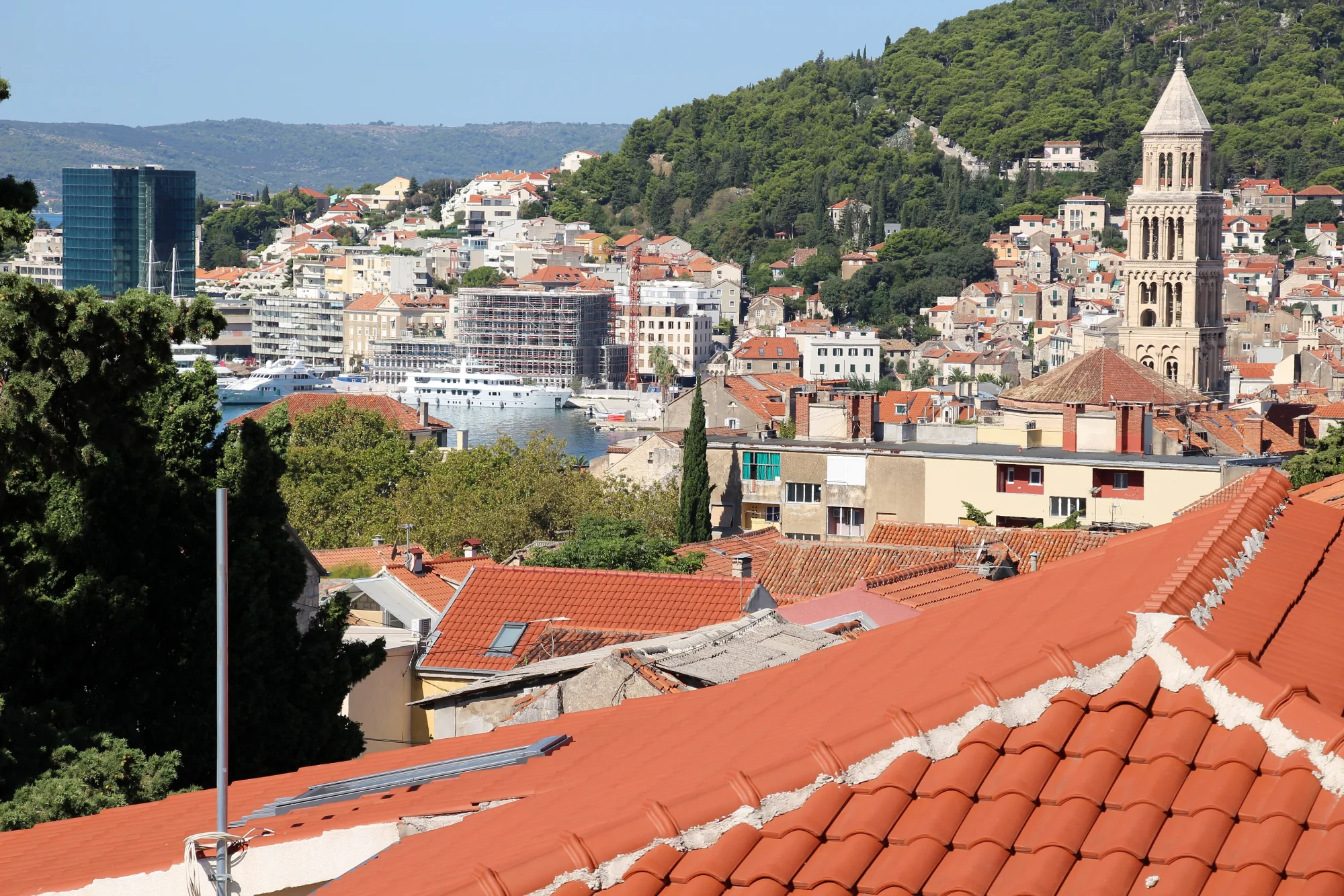
The trip starts on the waterfront promenade in front of Diocletian's Palace. It is a World Heritage site and one of the best-preserved buildings of Roman times, and the old town lives within its walls today.
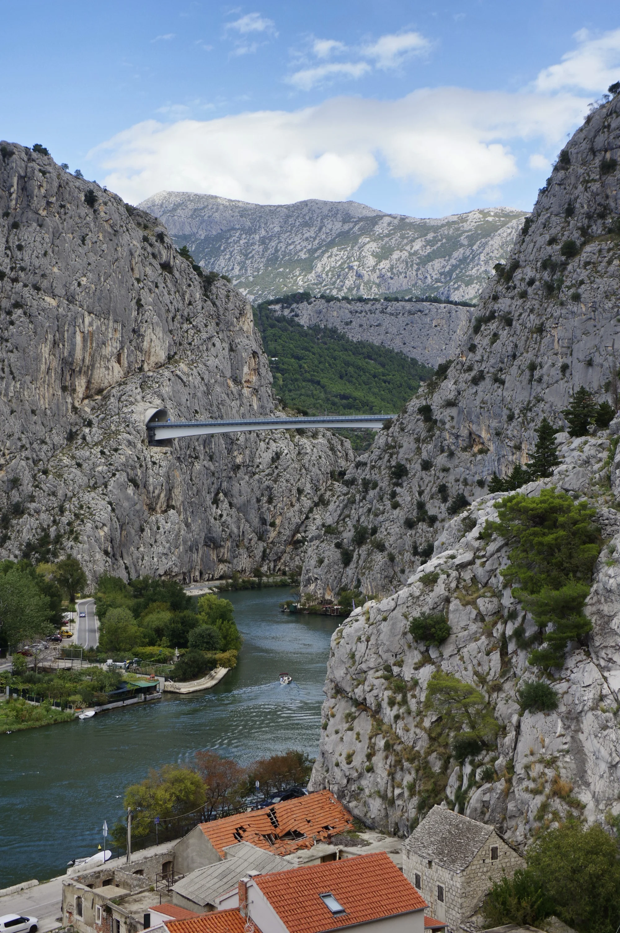
Between high rock walls the Cetina flows into the sea. Above the town stands the 13th-century Mirabela fortress, a reminder of the age of pirates. On day two you follow the river into the valley.
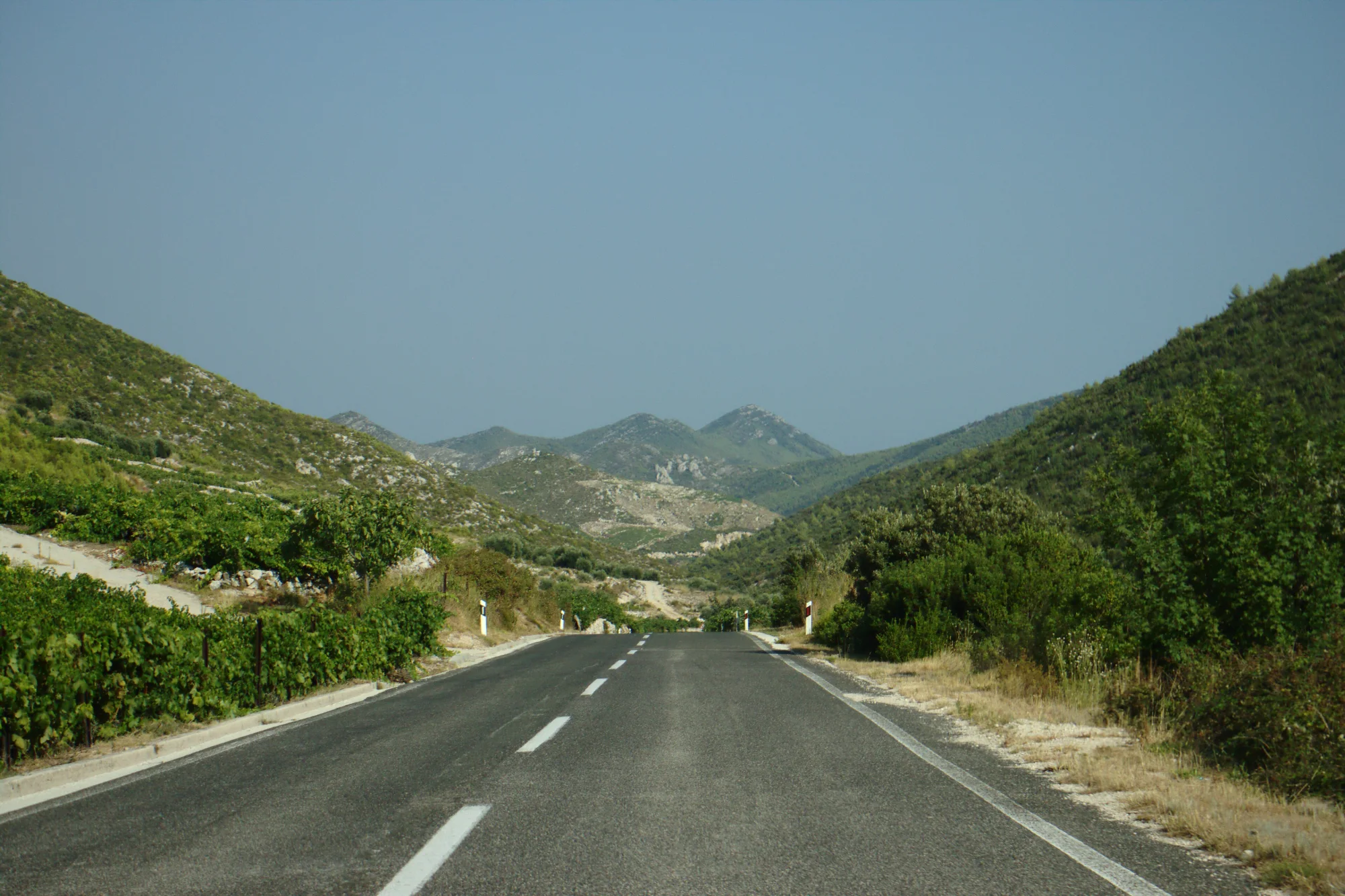
After the ferry you cross the peninsula, through wine villages such as Kuna Pelješka and Potomje, past terraced vineyards and wine cellars. A 400 m tunnel leads down to the south coast.
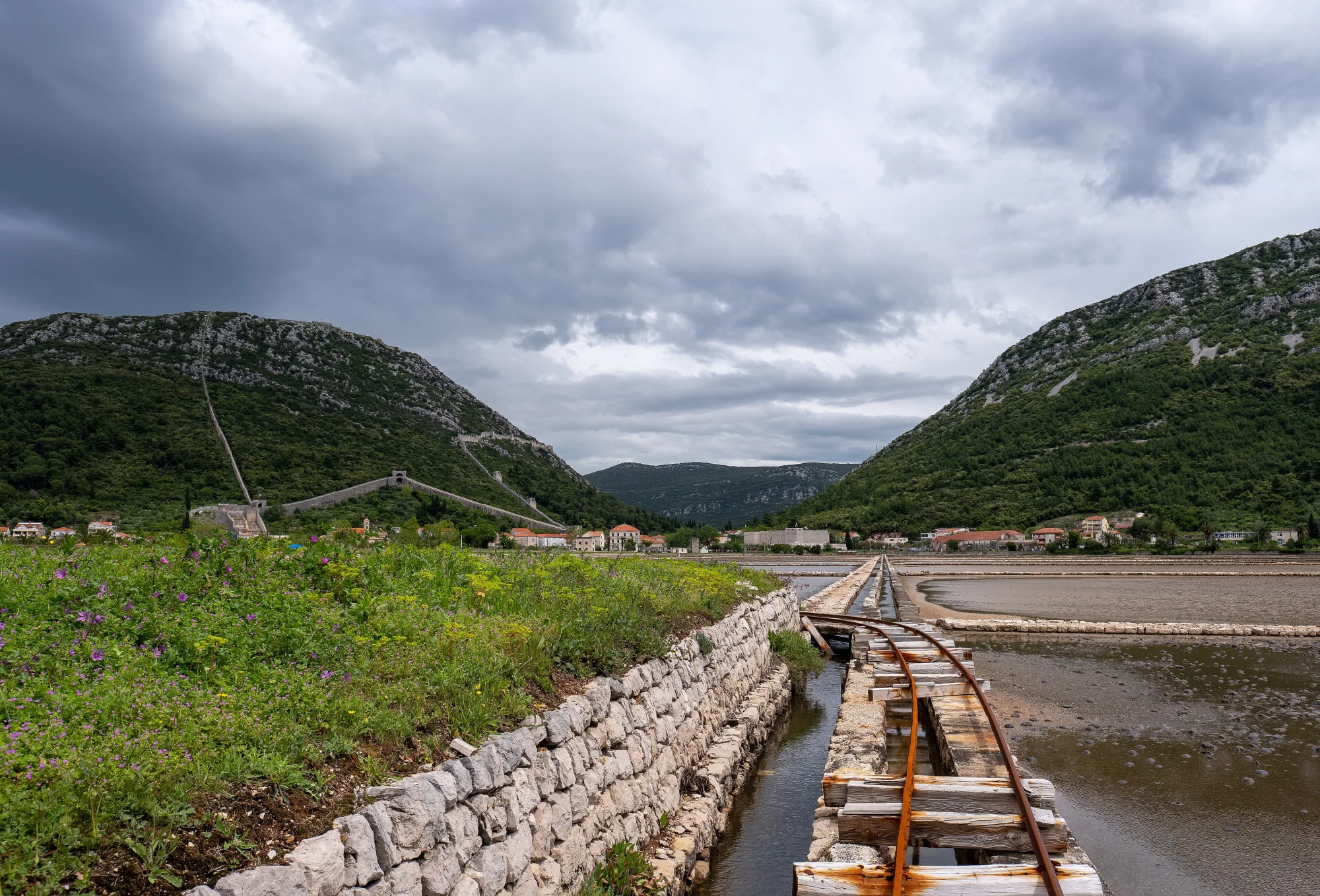
The walls of Ston run 5.5 km long and five to ten metres high over the hill, among the longest defensive walls in Europe. Below lie the salt pans, and the town is known for its oysters.
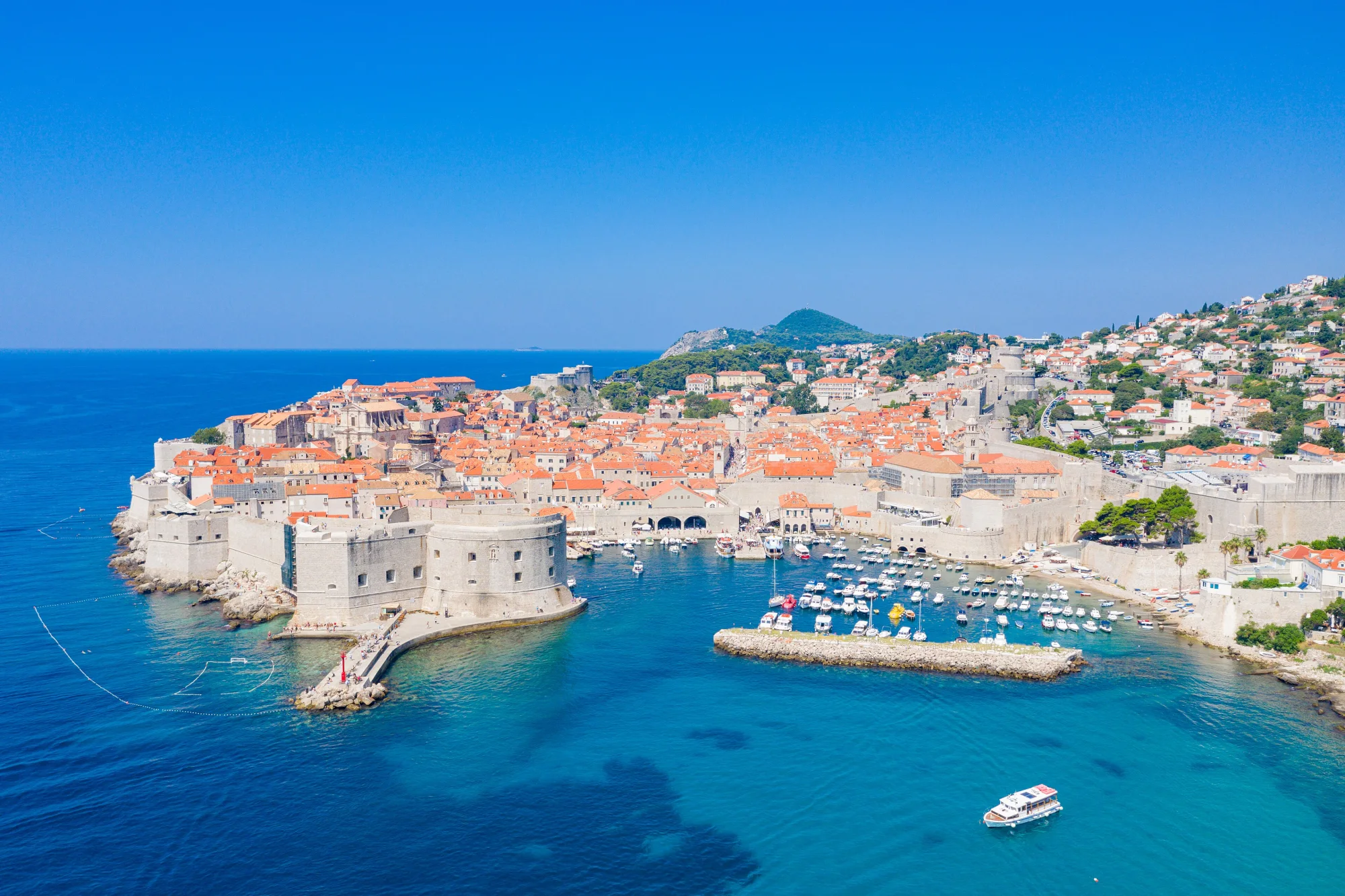
The destination of the trip. The late-medieval old town is a World Heritage site and is surrounded by 1,940 m of city walls. Shortly before it, Trsteno has an arboretum with views of the islands.
No guarantee. What applies at a border can change. Check with the official sources before you set off.
No guarantee. Roadworks, closures and ferries change, current notes are published by the cycle route's operators.
Open the GPX file with Pedalglobe and choose “Keep exactly (1:1)”. The route is then under “Tours”. With “Add to Trip …” you turn it into your own trip with days, climate and entry rules for your travel dates.
Plan it yourself: This trip and everything here: planned in Pedalglobe in a few minutes, with elevation profile, climate for every day and what applies at each border.
You can also find new bike trips and short videos about them on Instagram, TikTok and YouTube.
Checked on 18 November 2026. Maps © OpenStreetMap contributors. Relief: © Mapterhorn and its sources
Difficulty: easyNew
Difficulty: moderateNew
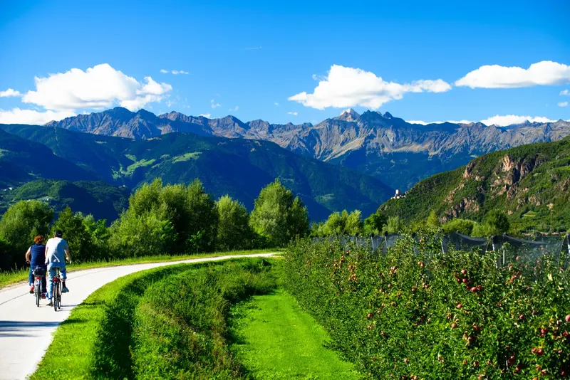
770 km and 16 days from the Danube over the Fernpass and the Reschenpass to Venice.
Photo: Siegfried Rabanser, CC BY 2.0, cropped, with text
Difficulty: easyNew
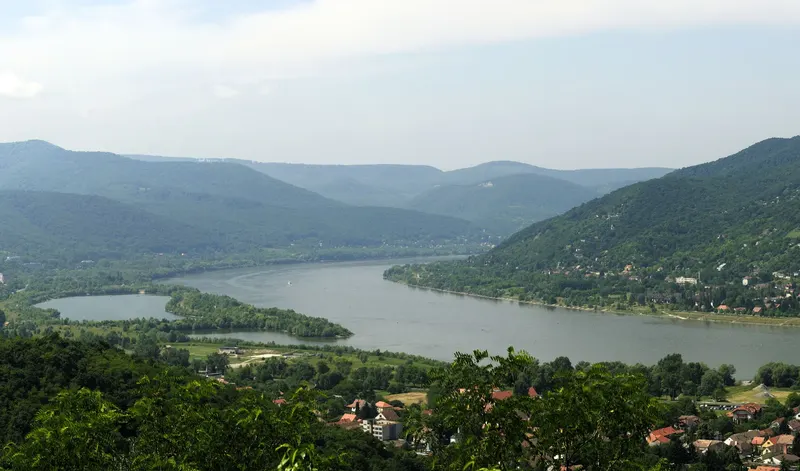
333 km in seven riding days down the Danube, from Vienna via Bratislava and Győr through the Danube Bend to Budapest.
Photo: Philipp Weigell, CC BY 3.0, cropped, with text


