


Difficulty: easyNew
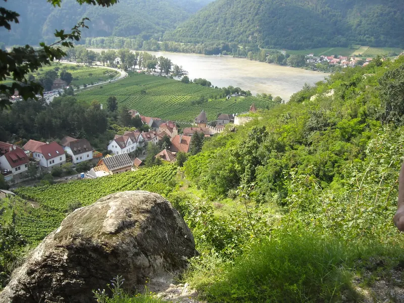
Danube Cycle Path: Passau – Vienna
- 317 kmDistance
- 5 daysDays
- May, June, SeptemberBest months
- Germany, AustriaCountries
Your next bike trip?
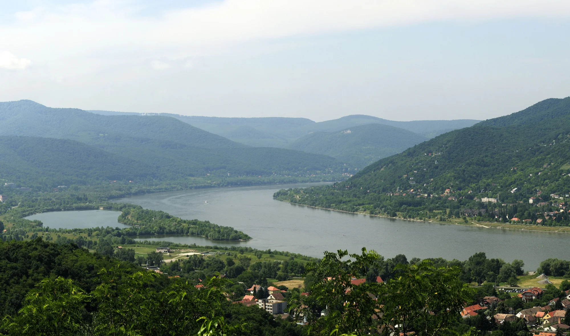
333 km in seven riding days down the Danube, from Vienna via Bratislava and Győr through the Danube Bend to Budapest.
Photo: Philipp Weigell, CC BY 3.0, cropped, with text

Map © OpenStreetMap contributors, OpenFreeMap, OpenMapTiles. Relief: Mapterhorn. Locator map: Natural Earth
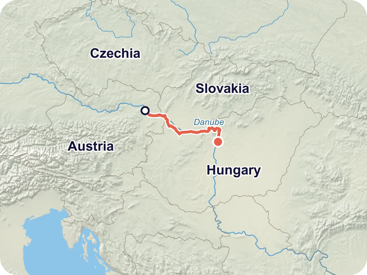
In Vienna the Danube Cycle Path Passau – Vienna ends, and this is where it carries on: three capitals, three countries, one river. From the Nordbrücke bridge you ride through the Donau-Auen National Park to Hainburg and the next day across the border to Bratislava. After that you switch to the Hungarian bank and roll through the villages of the Szigetköz to Győr. Via Komárom you reach Esztergom with its basilica, cross the Mária Valéria Bridge into Slovakia and return to Hungary at Szob. Through the Danube Bend you continue to Vác, take the ferry to the other bank and ride via Szentendre to Budapest.
The route follows EuroVelo 6, the long-distance cycle route from the Atlantic to the Black Sea. In Hungary it keeps to the daily sections of the Hungarian EuroVelo office. On the way you cross a border four times, all within the Schengen area. You pay in euros in Austria and Slovakia and in forints in Hungary.
Length and ascent come from the route calculation in Pedalglobe: 332.9 km and 299 m of climbing. The line follows the cycle paths as the map (OpenStreetMap) records them. Between Bratislava and the Hungarian border at Rajka and on the Slovak stretch near Štúrovo we did not read an official track, so the route there is our own calculation. One day has a lot of traffic: before Esztergom you ride 16 km in one go on a main road. There is no guarantee that the way is passable. Read the route notes before you plan.
Plan it yourself: This trip and everything here: planned in Pedalglobe in a few minutes, with elevation profile, climate for every day and what applies at each border.
53 km · 12 m of climbing
From the Nordbrücke bridge you ride out of the city along the New Danube, then for a long time through the Donau-Auen National Park. Orth and Eckartsau castles lie a little off the route. At Stopfenreuth you cross the Danube bridge to Hainburg with its town walls and gates. The flattest day, only 12 m of climbing. According to the map just under 5 km in the wetlands are not asphalted.
56 km · 88 m of climbing
On the cycle path beside the B9 main road via Wolfsthal to the border at Berg. Here the route climbs once to 178 m, the highest point of the trip. After about 17 km you reach the riverside promenade in Bratislava with a view of the castle. After that you ride mostly on cycle paths according to the map via Čunovo to the border at Rajka and through Rajka to Mosonmagyaróvár. The longest day, with two borders.
41 km · 39 m of climbing
Flat through the villages of the Szigetköz via Halászi and Hédervár. According to the map you ride 37 of 41 km on cycle paths. If you like, take the dykes along the Old Danube below the villages, where the path is gravel. At the end the old town of Győr awaits.
38 km · 41 m of climbing
The shortest day. Via Győrszentiván you return to the Danube at Gönyű and ride flat along wetlands and dykes. According to the Hungarian EuroVelo office it is well signposted and easy to ride, with rest areas by the river. Komárom has old fortresses, and across the bridge lies Komárno in Slovakia.
54 km · 8 m of climbing
The day with the most traffic. Via Szőny and Almásfüzitő you follow the Danube, and between Dunaalmás and Süttő the Gerecse hills come close to the river. According to the map you ride about 27 of the 54 km on busy roads: 3 km beyond Komárom, 16 km in one go on main road 10 between Neszmély and Nyergesújfalu and about 7 km from Tát to Esztergom. At the end the basilica of Esztergom stands above the river.
52 km · 74 m of climbing
Over the Mária Valéria Bridge you ride into Slovakia to Štúrovo and on via Kamenica nad Hronom and Chľaba, about 13 km on ordinary roads according to the map. Over the Ipoly bridge you return to Hungary. Then comes the Danube Bend: Szob, Zebegény and Nagymaros, with Visegrád Castle opposite. Beyond Verőce the route briefly climbs to 138 m, then you roll down to Vác.
39 km · 37 m of climbing
Right at the start you take the ferry to Szentendre Island and cross the bridge at Tahitótfalu to the right bank. Between Tahitótfalu and Szentendre there are about 5 km on busy roads. Szentendre is worth a break, after that you ride on the upgraded cycle path through Óbuda to the Buda bank of the Danube.
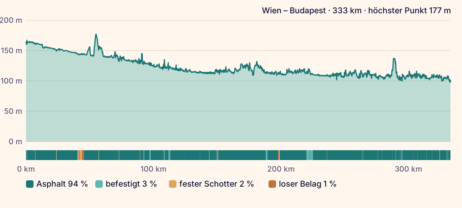
According to the map (OpenStreetMap) you ride 94 % on asphalt and 3 % on other sealed surfaces. Only a good 8 km have no sealed surface, most of them on the first day in the Danube wetlands. In Hungary beyond Rajka you can also ride on the dykes along the Old Danube below the villages. According to the Hungarian EuroVelo office they are covered with gravel instead of asphalt.
On traffic: 52 % of the route runs on signposted cycle routes. According to the map you ride 59 % on separate cycle paths, 9 % on quiet roads, 7 % on tracks and paths, 11 % on ordinary roads and 11 % on busy roads. Almost all of these 36 km lie on the fifth day between Komárom and Esztergom: 3 km beyond Komárom, 16 km in one go on main road 10 between Neszmély and Nyergesújfalu and about 7 km from Tát to Esztergom. About 5 km more come on the last day between Tahitótfalu and Szentendre.
On the last day a ferry is part of the route: from Vác you cross to Tahitótfalu on Szentendre Island, 0.4 km without pedalling in the elevation profile. What the surface really looks like changes with weather, floods and roadworks.
Overall: easy. Flat, downstream and almost all asphalt. One day before Esztergom runs 16 km in one go on a main road.
The Pedalglobe scale: the same five features and levels 1 to 5 for every trip.
An easy trip, flat and downstream. Seven days with an average of 48 km, the longest has 56 km, the shortest 38 km. Pedalglobe counts only 299 m of climbing over 333 km. Almost every day runs on cycle paths and quiet roads, and every day ends in a town with a railway station.
One day stands out: between Komárom and Esztergom you ride about 27 of 54 km on busy roads according to the map, 16 km of them in one go on main road 10. The Hungarian government wants to upgrade this part and replace the stretch between Tát and Esztergom, which it calls accident-prone. Construction starts in 2028 at the earliest. If you ride with children or want to avoid roads, take the train for this day (see train).
Best months: May, June, September
The best time to set off is May, June or September. Daytime highs then average around 21 to 26 degrees and there are no frosty nights. July and August are the warmest months, with a mean of 28 degrees in Győr and Budapest. April and October work too, with highs around 15 to 18 degrees and cool nights.
The climate changes little along the way, it gets a bit warmer and drier towards the east. Vienna gets about 670 mm of precipitation a year, Győr about 615 mm and Budapest about 590 mm. Most of it falls from May to August, often as showers or thunderstorms.
The table shows Győr, which you reach at the end of the third day after 149 of 333 km. Daytime highs, lows and precipitation are long-term means for 1991 to 2020 from the Hungarian weather service HungaroMet, rounded to whole degrees and millimetres. The values are means over many years and say nothing about a single day.
| Month | Day | Night | Precipitation | For cycling |
|---|---|---|---|---|
| January | 4 °C | -3 °C | 37 mm | poor |
| February | 6 °C | -2 °C | 33 mm | poor |
| March | 12 °C | 1 °C | 38 mm | poor |
| April | 18 °C | 5 °C | 37 mm | marginal |
| May | 22 °C | 9 °C | 68 mm | good |
| June | 26 °C | 13 °C | 59 mm | good |
| July | 28 °C | 15 °C | 71 mm | marginal |
| August | 28 °C | 14 °C | 65 mm | marginal |
| September | 22 °C | 10 °C | 66 mm | good |
| October | 16 °C | 6 °C | 50 mm | marginal |
| November | 10 °C | 2 °C | 49 mm | poor |
| December | 4 °C | -2 °C | 42 mm | poor |
Winter, not cycling season. In Győr a mean of 4 degrees by day and -3 at night.
Still winter, 6 degrees by day, frost at night. The driest month of the year.
First mild days with 12 degrees, around 1 degree at night. March is the windiest month.
18 degrees by day, the nights still fresh at 5 degrees. Little rain, 37 mm.
Best time. 22 degrees by day, 9 at night, but with 68 mm already one of the wetter months.
Best time. Long days with 26 degrees, 13 at night, and 59 mm of precipitation.
Warmest and wettest, 28 degrees by day, 71 mm mostly as thunderstorms. Start early in the day.
As warm as July, 28 degrees by day, 14 at night. Lots going on by the water.
Best time. 22 degrees by day, 10 at night, quieter than in summer.
Still 16 degrees by day, 6 at night. Shorter days, plan the stages to match.
Cool and short, 10 degrees by day. The season is over.
Winter, not cycling season. 4 degrees by day, frost at night.
This trip follows on from the Danube Cycle Path Passau – Vienna. Together you ride about 650 km from Passau to Budapest in twelve days.
The first day and a half, about 69 km through the Danube wetlands to the capital of Slovakia. You go back by regional train.
From Vienna on the right bank via Schönau and by ferry via Orth to Petronell-Carnuntum with its Roman town, then via Bad Deutsch-Altenburg and Hainburg to Bratislava. We have not checked when the ferry at Orth runs.
Beyond Bratislava you can also stay on the left bank, on the dam along the canal via Gabčíkovo with its large locks to Komárno. According to the Slovak tourism portal the dam is asphalted and free of cars, but long, without a town until Komárno and with hard headwinds in bad weather. The portal calls some stretches monotonous. There is no official information on the surface between Gabčíkovo and Komárno.
If the ferry to Tahitótfalu is not running, stay on the left bank and ride via Sződliget, Göd, Dunakeszi and Újpest to Margaret Island. According to the Hungarian EuroVelo office these are quiet cycle paths, partly under trees, and about 38 km. Szentendre is then not on the way.
In Nagymaros a ferry crosses to Visegrád with its castle. According to the operator's price list a person and a bike cost 950 forints each from 1 July 2026. In summer 2026 the ferry was out of service for a while and only ran again after dredging. We have not checked when it runs in winter.
The start is Vienna. You arrive either by bike on the Danube Cycle Path Passau – Vienna or by train. In ÖBB long-distance trains (Railjet, ICE, Nightjet) your bike travels with a bike ticket and a reservation. We have not checked which trains from Germany to Vienna have bike spaces.
According to the Hungarian railway MÁV, a Railjet xpress runs from Budapest-Keleti via Győr and Hegyeshalom to Vienna every two hours, with 5 bike spaces, and a EuroCity with 8 bike spaces every two hours as well. For the bike you need an international bike ticket and a bike space reservation. In Hungary the ticket is only sold at international ticket counters. It is valid for four days, and the bike reservation for up to two consecutive trains is included. The price depends on the distance, we did not find it for Budapest – Vienna. With so few spaces per train, book early.
In ÖBB long-distance trains a bike ticket and a reservation are mandatory. The ticket costs about 10 % of the standard 2nd class fare, at least 1.40 euros, and the reservation 3 euros online or 3.50 euros at the counter. You can book up to six months ahead. Local trains take no reservations, the bike travels if there is space.
In Hungary bikes with wheels over 20 inches need a bike ticket, and in marked trains also a bike space reservation. In trains without a bike symbol at most two bikes may stand on the first or last platform. Each person takes one bike.
You can shorten the trip with regional trains: between Győr and Hegyeshalom they run hourly in total, from Hegyeshalom via Rajka to Bratislava-Petržalka several times a day. On the left bank the Budapest-Nyugati – Vác – Szob line links the Danube Bend. For the day before Esztergom there are stations in Komárom and Esztergom.
The route passes through towns and villages every day. In Austria the stages are listed as having places to stop for food. In Hungary there is a national network of cycle-friendly businesses with almost 1,400 members. Between Vác and Budapest cafés, bathing spots and small harbours line the way.
Every day ends in a town with hotels and guesthouses. Near Stopfenreuth in the Danube wetlands there is a campsite according to the stage page. We have not checked campsites or the rules for wild camping in Slovakia and Hungary.
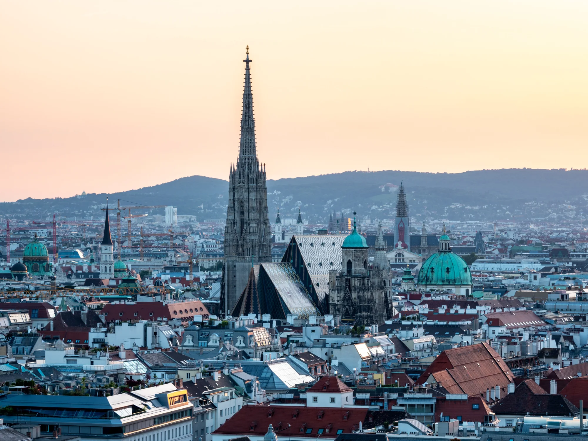
The start is at the Nordbrücke bridge, where the Danube Cycle Path Passau – Vienna ends. Take a day beforehand for the old town around St. Stephen's Cathedral.
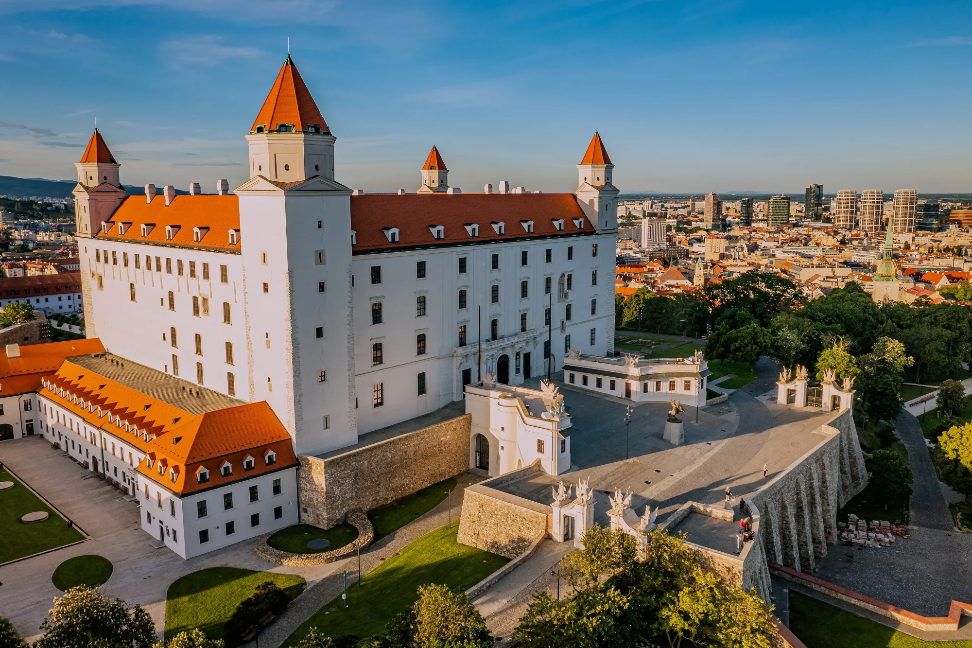
On the second day you ride along the riverside promenade towards the castle with its four towers. From its terraces you look out over the old town and the Danube. A little off the route, the ruins of Devín Castle stand on a rock where the Morava flows into the Danube.
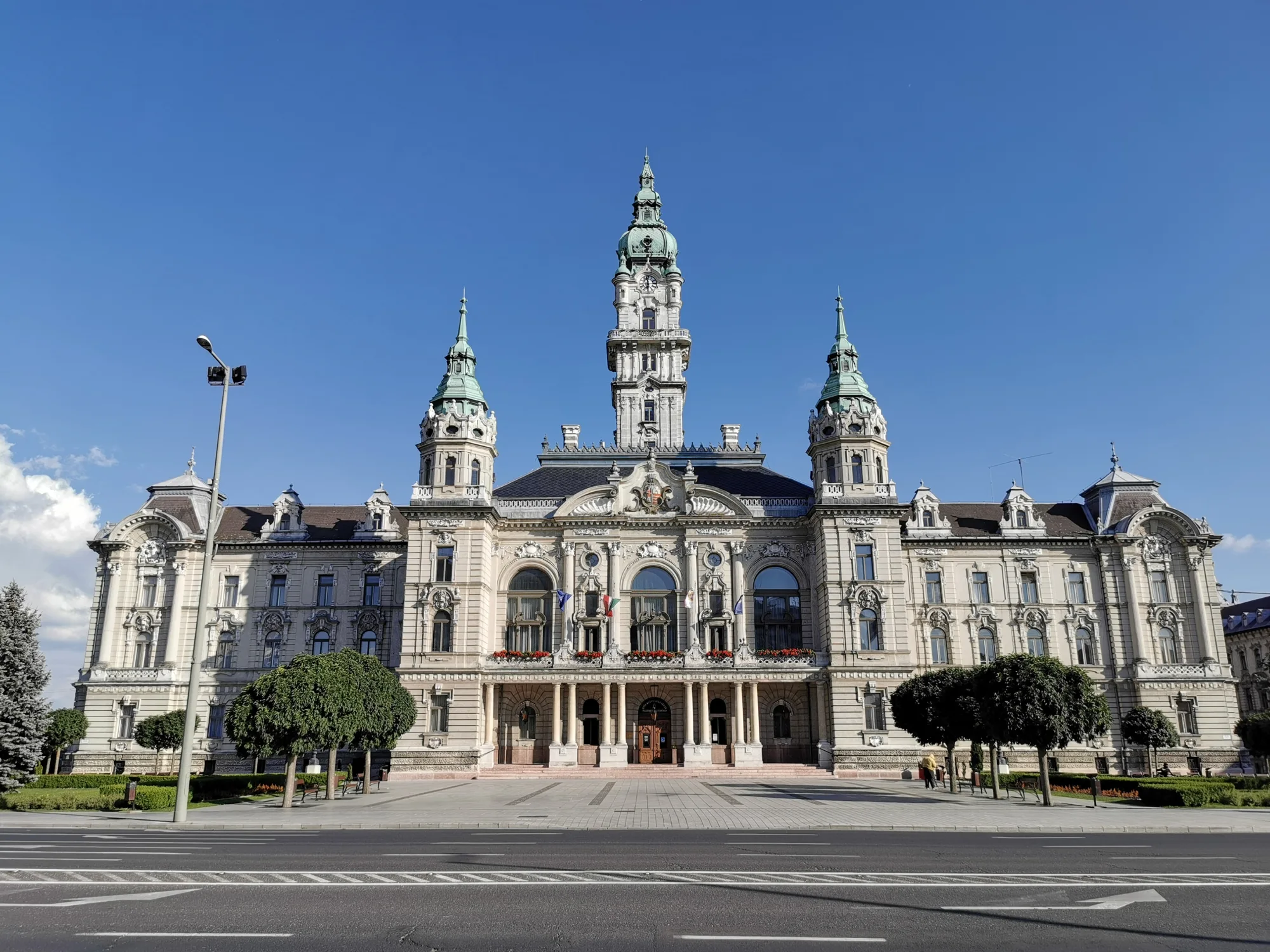
The end of the third day lies where the Rába meets the Mosoni-Duna. The town hall dates from the end of the 19th century, and from the tower of the Bishop's Castle you look out over the town and the rivers.
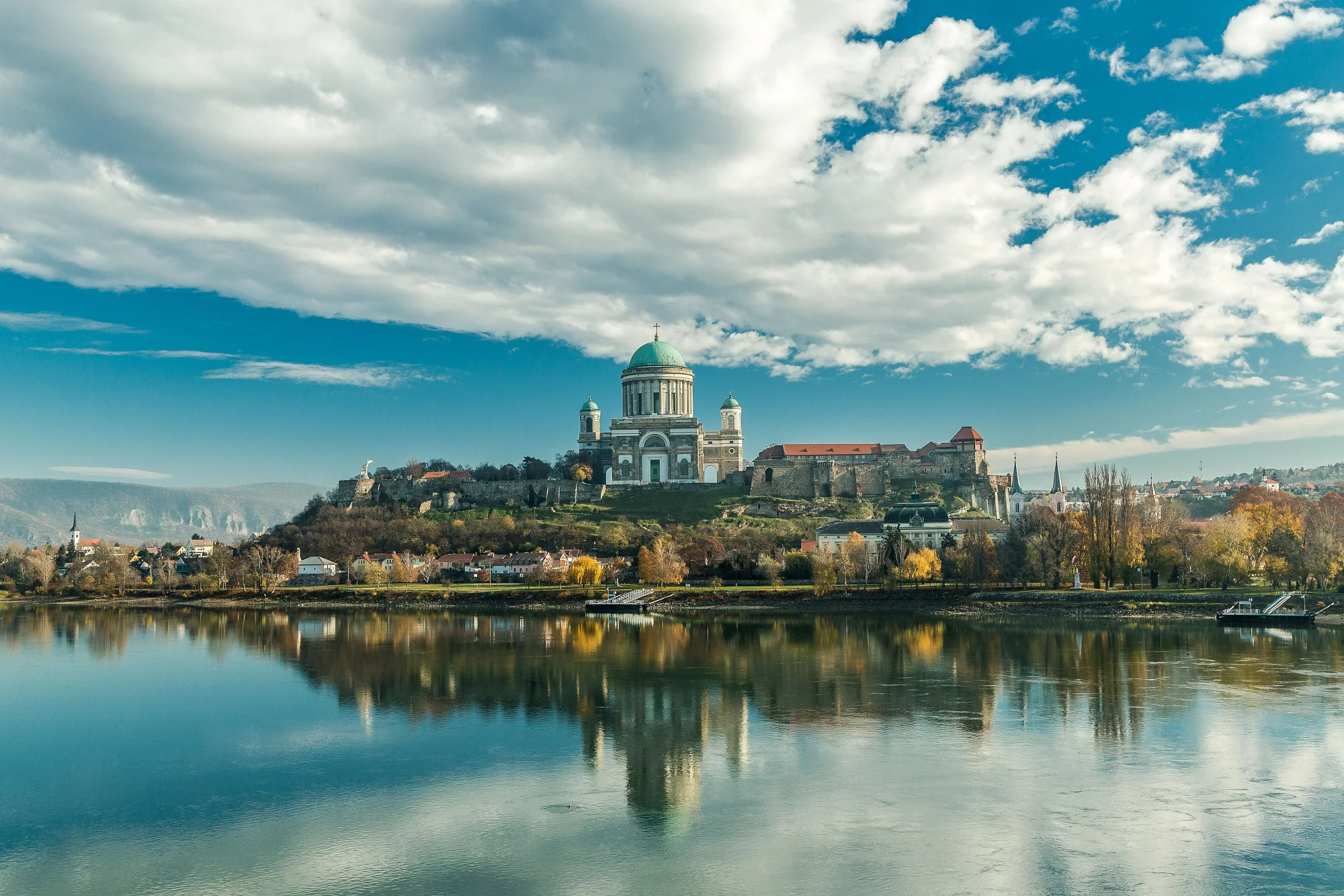
The basilica of Esztergom towers above the river, and the Mária Valéria Bridge takes you into Slovakia. Beyond Szob you ride through the Danube Bend with Visegrád Castle on the far bank in view for a long time.
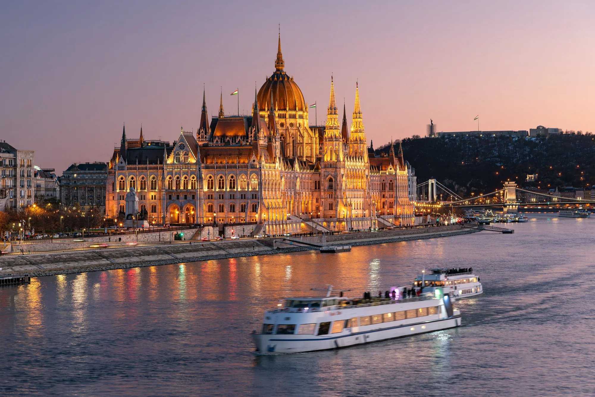
On the last day you roll via Szentendre and Óbuda to the Buda bank. Opposite, the Parliament stands right by the water, and the city's bridges span the river.
No guarantee. What applies at a border can change. Check with the official sources before you set off.
No guarantee. Roadworks, closures and ferries change, current notes are published by the cycle route's operators.
Open the GPX file with Pedalglobe and choose “Keep exactly (1:1)”. The route is then under “Tours”. With “Add to Trip …” you turn it into your own trip with days, climate and entry rules for your travel dates.
Plan it yourself: This trip and everything here: planned in Pedalglobe in a few minutes, with elevation profile, climate for every day and what applies at each border.
You can also find new bike trips and short videos about them on Instagram, TikTok and YouTube.
Checked on 18 November 2026. Maps © OpenStreetMap contributors. Relief: © Mapterhorn and its sources
Difficulty: easyNew
Difficulty: easyNew
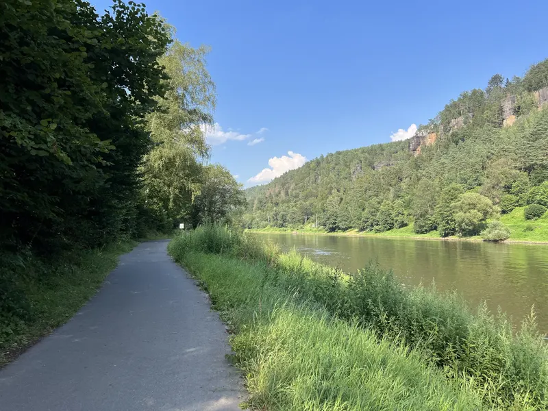
232 km in four riding days up the Elbe, through the Elbe Sandstone Mountains and the Central Bohemian Uplands, past Mělník and up the Vltava to Prague.
Photo: Lukas Beck, CC BY 4.0, cropped, with text
Difficulty: moderateNew
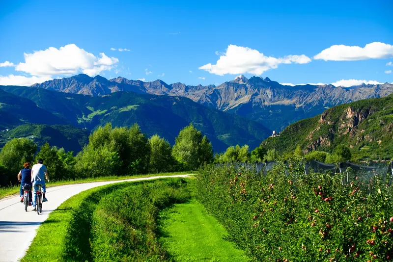
770 km and 16 days from the Danube over the Fernpass and the Reschenpass to Venice.
Photo: Siegfried Rabanser, CC BY 2.0, cropped, with text


