Diese Seite gibt es auch auf Deutsch.

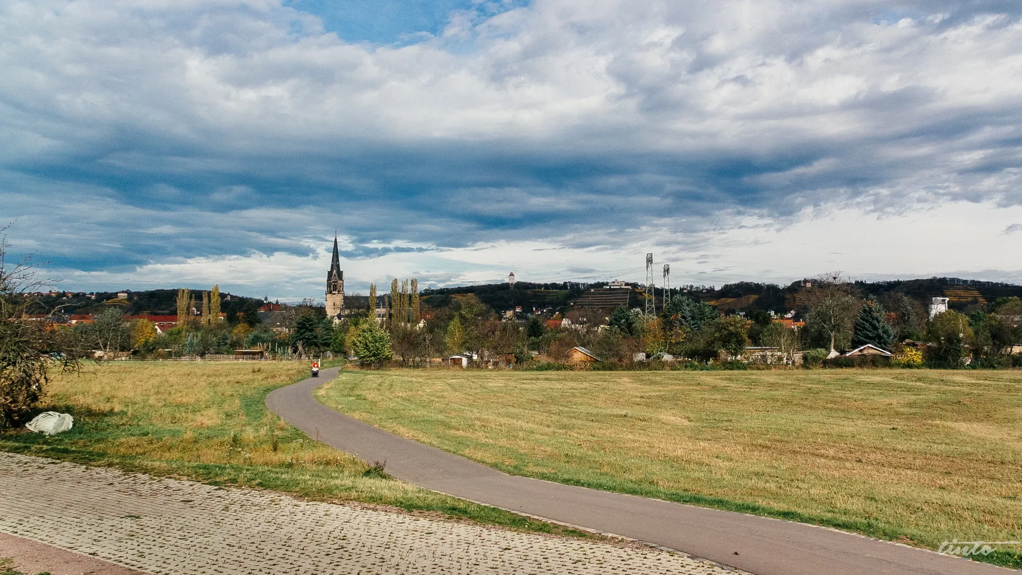
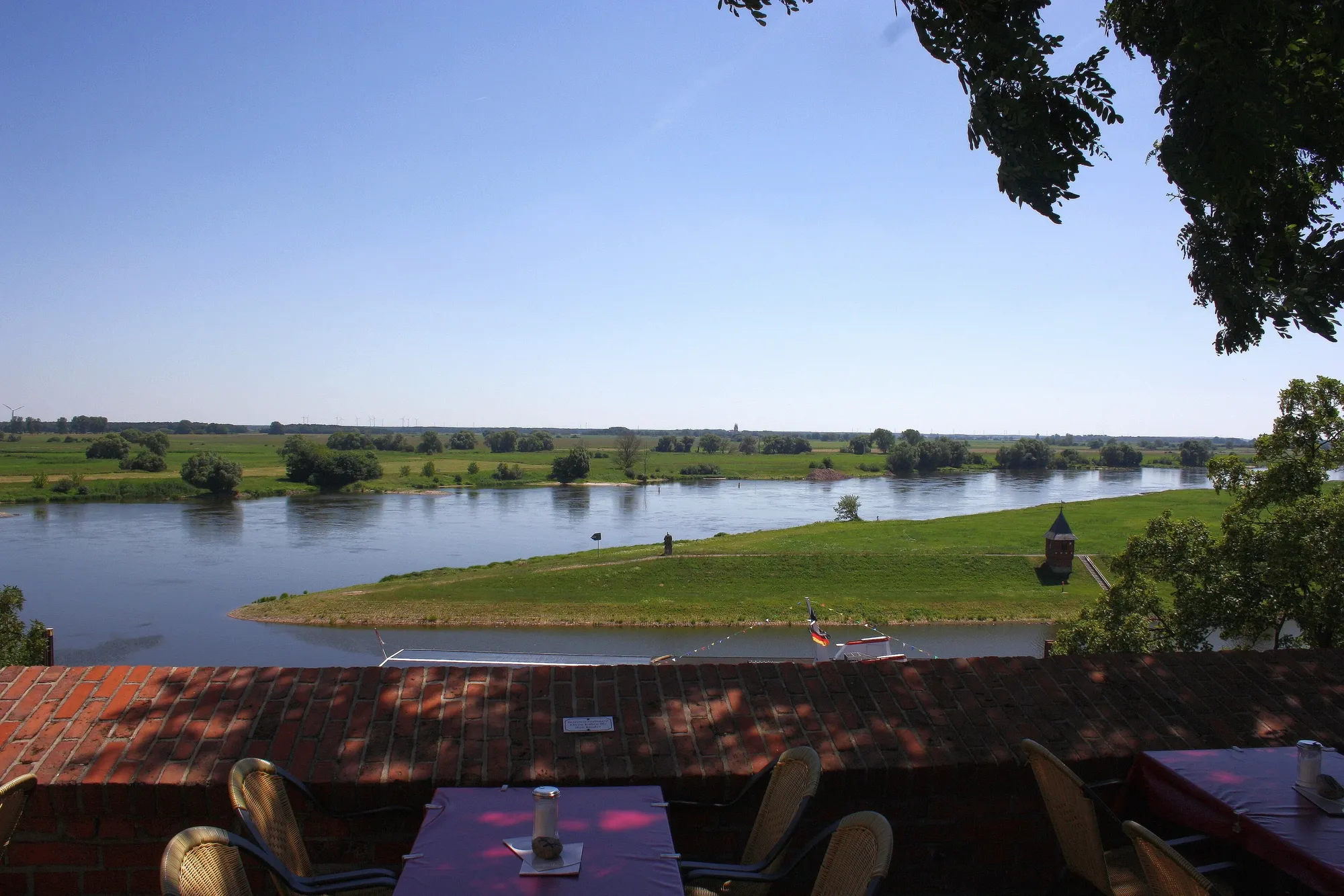
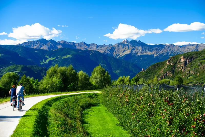
Cycle path through the Elbe meadows near Radebeul with the Church of Peace under a wide sky

Your next bike trip?

Elbe Cycle Route Dresden – Hamburg

578 km along the river, from the baroque city to the harbour, in nine riding days and one rest day.

  • Touring bikeBike
  • GermanyCountry

Photo: Jörg Schubert, CC BY 2.0, cropped, text added

The route

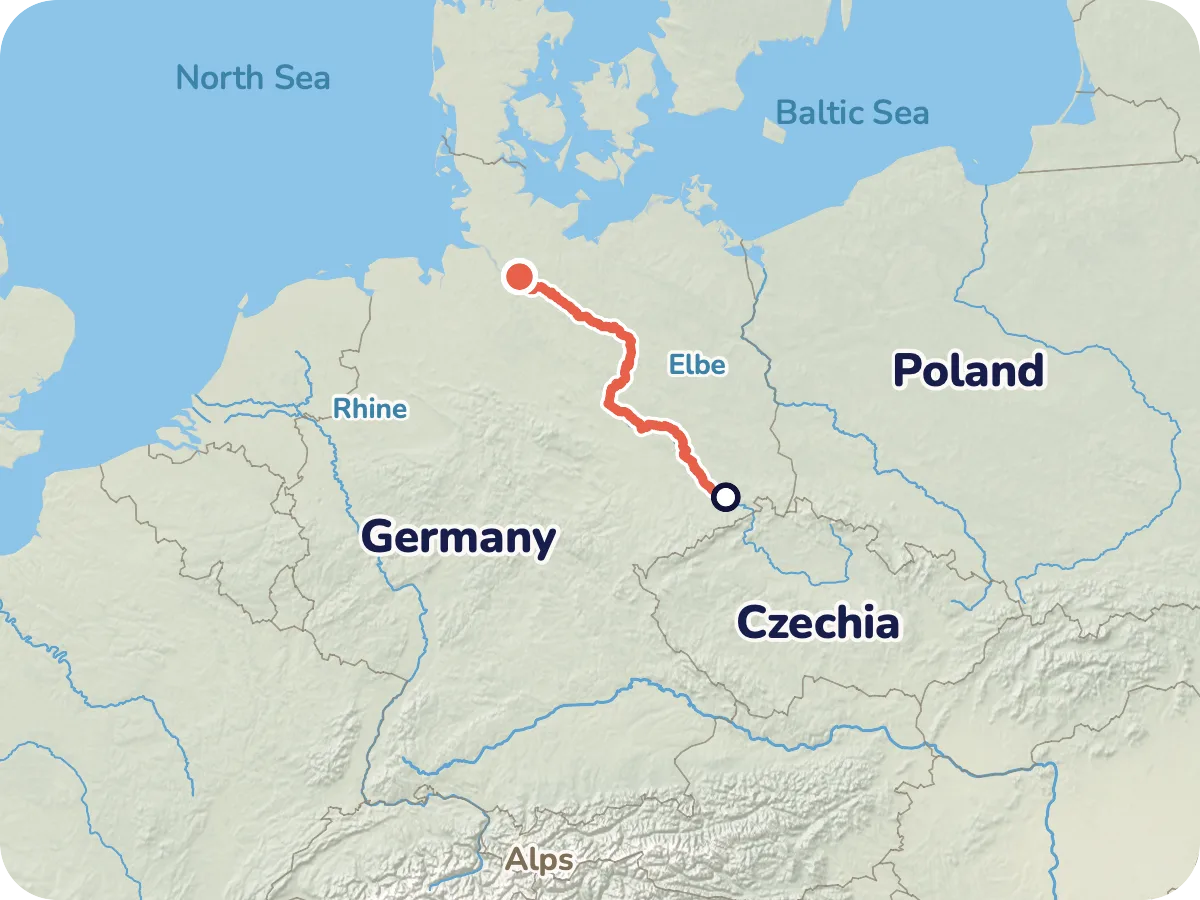
Map of the route from Dresden via Magdeburg to Hamburg with all stage towns.
Locator map: the Elbe Cycle Route from Dresden to Hamburg in northern Germany.
  • Asphalt 479 km
  • Paved 70 km
  • Compacted gravel 22 km
  • Cobblestones 4 km
  • Loose surface 3 km

Map © OpenStreetMap contributors, OpenFreeMap, OpenMapTiles. Relief: Mapterhorn. Locator map: Natural Earth

The Elbe takes you by the hand in Dresden and only lets go at the port of Hamburg. In between lie vineyards and castles in Saxony, Luther towns and the Garden Realm in Saxony-Anhalt, Hanseatic towns in the Altmark and many kilometres of floodplain where you won't pass a village for a long while.

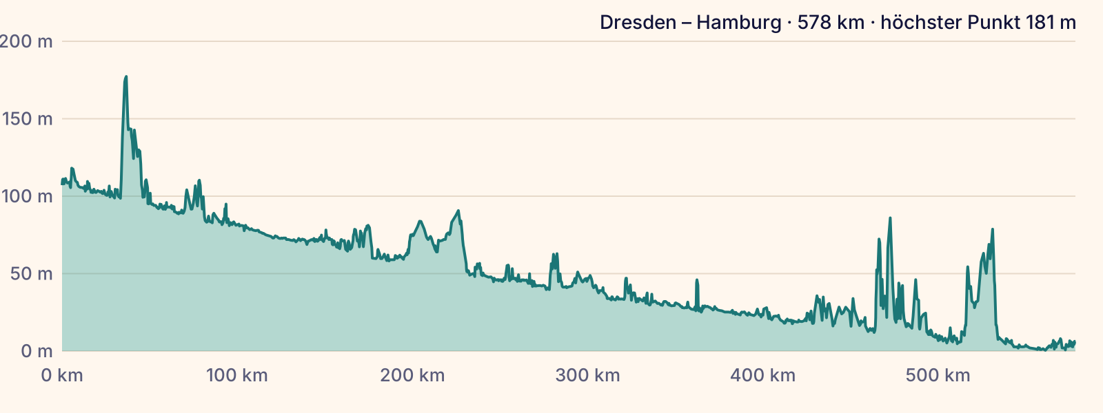
The path follows the river with hardly any climbing. Only near Meissen and on the Elbe heights near Hitzacker does it go uphill for a short while. Cable ferries shuttle between the banks, so you can switch sides.

Pedalglobe splits the route into ten days: nine riding days and one rest day, for example in Magdeburg.

Plan it yourself: This trip and everything here: planned in Pedalglobe in a few minutes, with elevation profile, climate for every day and what applies at each border.

Pedalglobe on the App Store

Stage by stage

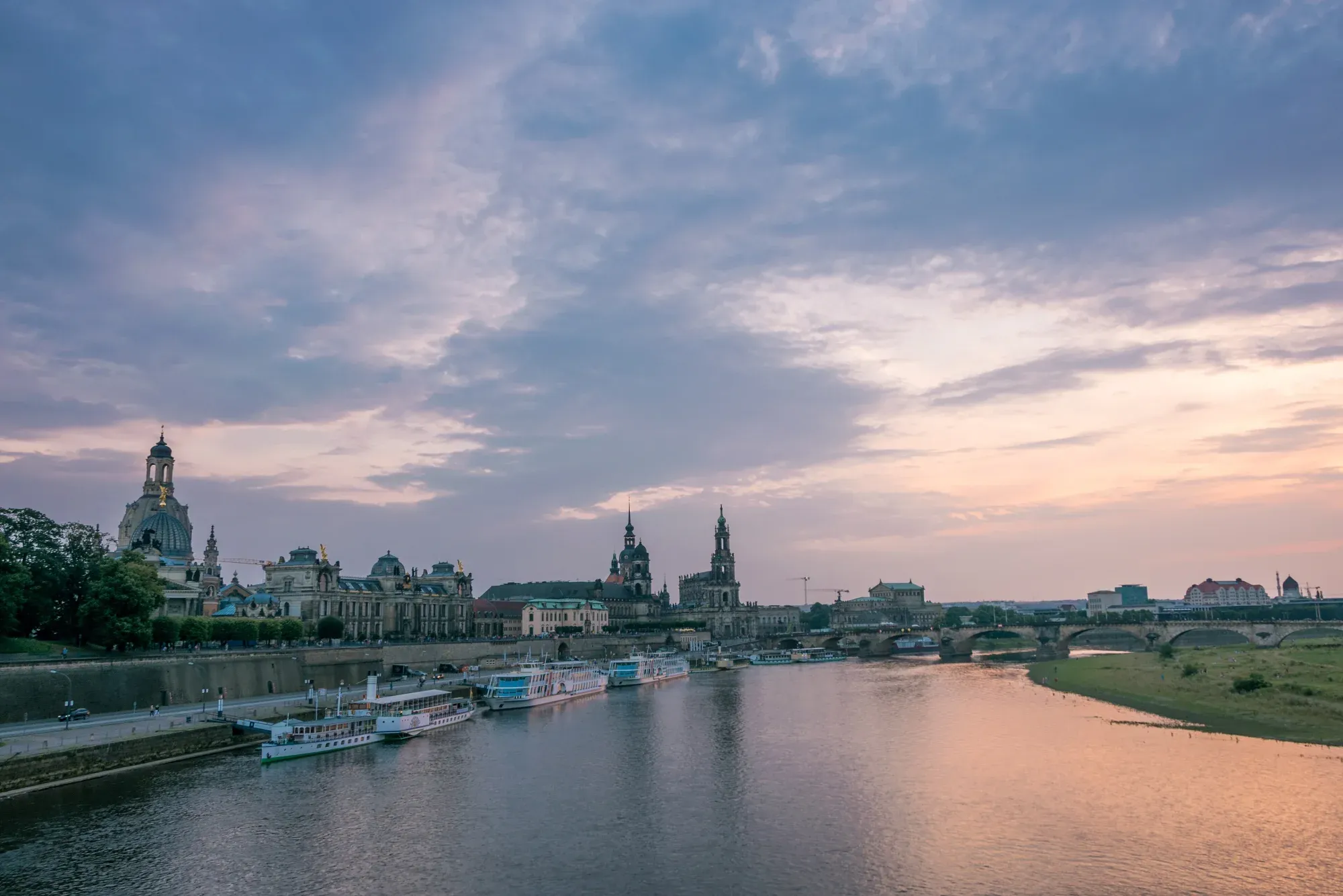
  • Dresden's old town with the Frauenkirche and the Court Church on the Elbe in evening light
    Photo: Henri Krause, CC BY-SA 4.0

    Day 1: Dresden – Belgern

    78 km · 152 m of climbing

    181 m
    • Asphalt 67 km
    • Paved 8 km
    • Compacted gravel 2 km
    • Loose surface 0.5 km
    • Cobblestones 0.2 km

    From the old town along the river and out through the wine villages before Meissen. Beyond Meissen it turns rural, with small villages and meadows all the way to Belgern. The longest day comes first, while your legs are fresh.

  • Day 2: Belgern – Elster (Elbe)

    59 km · 18 m of climbing

    110 m
    • Asphalt 50 km
    • Compacted gravel 6 km
    • Paved 3 km
    • Loose surface 0.4 km
    • Cobblestones 0.2 km

    Via Torgau and Hartenfels Castle into wide floodplains and shady woods. Here the path does not always hug the bank.

  • Day 3: Elster (Elbe) – Dessau-Rosslau

    55 km · 25 m of climbing

    81 m
    • Asphalt 42 km
    • Paved 9 km
    • Compacted gravel 4 km
    • Cobblestones 0.5 km

    A day of World Heritage in quick succession: Lutherstadt Wittenberg, then the Garden Realm between Wörlitz and Dessau.

  • Day 4: Dessau-Rosslau – Magdeburg

    62 km · 42 m of climbing

    91 m
    • Asphalt 48 km
    • Paved 7 km
    • Compacted gravel 3 km
    • Loose surface 2 km
    • Cobblestones 2 km

    Small towns, floodplains and dikes take turns until Magdeburg Cathedral comes into view. A good place for the rest day.

  • Day 5: Magdeburg – Tangermünde

    67 km · 25 m of climbing

    62 m
    • Asphalt 49 km
    • Paved 17 km
    • Cobblestones 0.2 km
    • Compacted gravel 0.1 km

    Beyond Magdeburg you cross the waterway junction and ride through the floodplains to medieval Tangermünde.

  • Day 6: Tangermünde – Wittenberge

    77 km · 9 m of climbing

    47 m
    • Asphalt 69 km
    • Paved 7 km
    • Cobblestones 0.1 km
    • Compacted gravel 0.1 km

    Brick and Romanesque churches in the Altmark, cable ferries along the way, then Havelberg and the meeting of the Havel and the Elbe.

  • Day 7: Wittenberge – Hitzacker

    66 km · 139 m of climbing

    40 m
    • Asphalt 53 km
    • Compacted gravel 6 km
    • Paved 6 km
    • Cobblestones 0.5 km
    • Loose surface 0.2 km

    Wide, quiet country in the biosphere reserve. Villages are further apart here, so plan food and water ahead.

  • Day 8: Hitzacker – Lauenburg

    53 km · 310 m of climbing

    84 m
    • Asphalt 48 km
    • Paved 5 km
    • Cobblestones 0.1 km

    The hilliest day of the trip if you take the left bank over the Elbe heights. Wide views over the marshes from the top, and the old town of Lauenburg at the end.

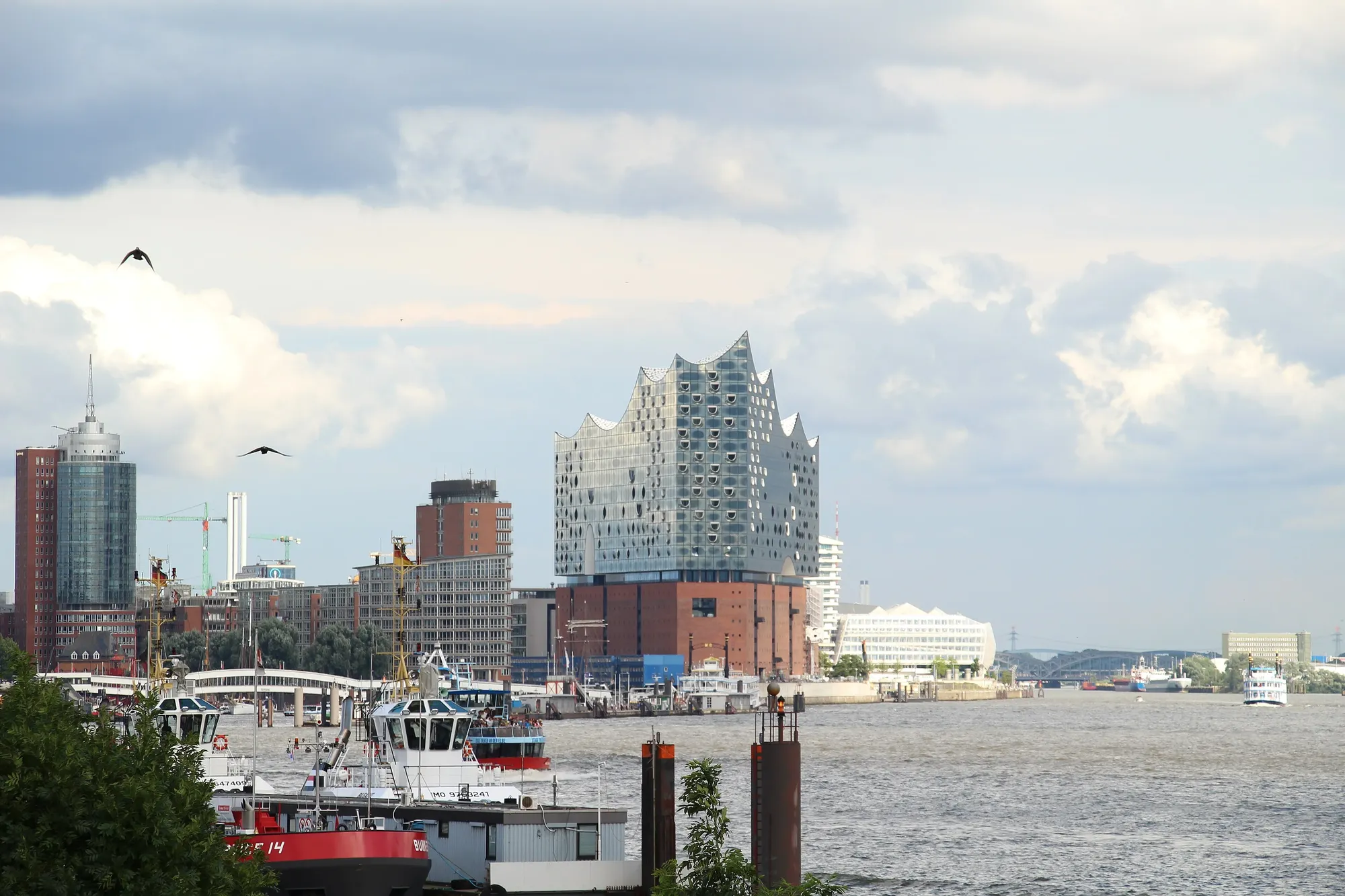
  • The Elbphilharmonie and the harbour seen from the water
    Photo: Fred Romero from Paris, France, CC BY 2.0

    Day 9: Lauenburg – Hamburg

    61 km · 58 m of climbing

    82 m
    • Asphalt 53 km
    • Paved 8 km
    • Compacted gravel 0.2 km
    • Cobblestones 0.1 km
    • Loose surface 0.1 km

    Via Geesthacht into the marshlands. At Zollenspieker you can cross by ferry one last time, then you roll through the city to the harbour.

The ground under your tyres

Elevation profile of the route, almost entirely below 100 m, with short climbs near Meissen and Hitzacker.

Well over four fifths of the route is paved. The rest is hard-surfaced paths and a few kilometres of fine gravel. A touring or trekking bike is a good fit.

  • Asphalt: 83 %
  • other paved paths: 12 %
  • compacted gravel: 4 %
  • cobbles and loose surface: 1 %

Difficulty and who it suits

Overall: easy. The challenge is the distance, not the terrain.

  • Distance64 km per riding day
  • Climbing136 m per 100 km, almost flat
  • Surface96 % sealed surface
  • Traffic83 % away from roads
  • Self-sufficiencyvillages every 10 to 15 km, sparser in the biosphere reserve

The Pedalglobe scale: the same five features and levels 1 to 5 for every trip.

Almost flat along the river, with short climbs only near Meissen and on the Elbe heights near Hitzacker. The challenge is the distance, not the terrain.

Who it suits

  • anyone who enjoys riding 50 to 80 km several days in a row
  • families with children used to cycling, on parts of the route with shorter days
  • e-bikes, touring bikes and trekking bikes

When to go

Best months: May, June, September

×Jan×Feb×Mar!Apr✓May✓Jun✓Jul✓Aug✓Sep!Oct×Nov×Dec4°5°9°15°19°22°24°24°19°14°8°5°-1°-1°1°4°8°12°14°14°10°6°3°0°
  • ✓good
  • !marginal
  • ×poor
  • Day °C
  • Night °C
  • Precipitation (mm)

May, June and September are the most pleasant: usually 19 to 22 degrees in the day, nights around 8 to 12 degrees, and less rain than in July and August. These are long-term averages, not a weather forecast.

All values as a table

Climate by month (long-term average)

MonthDayNightPrecipitationFor cycling
January4 °C-1 °C49 mmpoor
February5 °C-1 °C38 mmpoor
March9 °C1 °C45 mmpoor
April15 °C4 °C34 mmmarginal
May19 °C8 °C59 mmgood
June22 °C12 °C63 mmgood
July24 °C14 °C76 mmgood
August24 °C14 °C72 mmgood
September19 °C10 °C53 mmgood
October14 °C6 °C51 mmmarginal
November8 °C3 °C49 mmpoor
December5 °C0 °C52 mmpoor
  • On open dikes and in the floodplains there is little shelter from the wind.
  • Ferries can stop running when the river is very high or very low.
Month by month

January

Cold and short days, only for the hardy.

February

Still winter, many ferries take a break.

March

First mild days, often frost at night.

April

Still fresh, especially at night. Bring warm clothes and stay indoors.

May

Green meadows, mild days, the season begins.

June

Long days and pleasant warmth, ideal for the whole route.

July

The warmest month, but also the wettest, especially around Dresden.

August

Warm and a little wet, with plenty of people on the path.

September

Quieter than in summer, and the days are still mild.

October

Cooler and shorter days, and many ferries end their season.

November

Short, wet days, the season is over.

December

Winter break on the river.

Variants

Dresden – Magdeburg only · 254 km

The southern half with vineyards, Luther towns and the Garden Realm, in four riding days.

Magdeburg – Hamburg only

The northern half through the Altmark and the biosphere reserve, quieter and wider.

The other bank

For long stretches the route runs on both banks. Ferries and bridges let you switch sides.

On to Cuxhaven

Beyond Hamburg the route continues all the way to the North Sea.

Getting there and back by train

Getting there

Dresden and Hamburg are well connected by train. You'll find specific connections in the Deutsche Bahn journey planner.

Getting back

The same rules for bikes apply on the way back from Hamburg.

Your bike on the train

On long-distance trains you need a bike ticket, which also serves as the reservation. It is valid on selected ICE trains and on all IC and EC trains. On regional trains there is a bike day ticket, but space is not guaranteed, especially on summer weekends.

Food and places to sleep

There is usually a village every 10 to 15 km. Between Wittenberge and Bleckede it gets quieter, so it's worth stocking up beforehand.

Food and shopping

You'll find inns and shops in the larger towns along the river. Many are closed on Sundays.

Places to sleep

There are guesthouses and campsites along the route. Wild camping is not allowed in Saxony, and in the other states it is usually only allowed with the landowner's consent.

Bike shops and water

There are bike shops in the towns along the way, for example in Dresden, Magdeburg and Hamburg.

Along the way

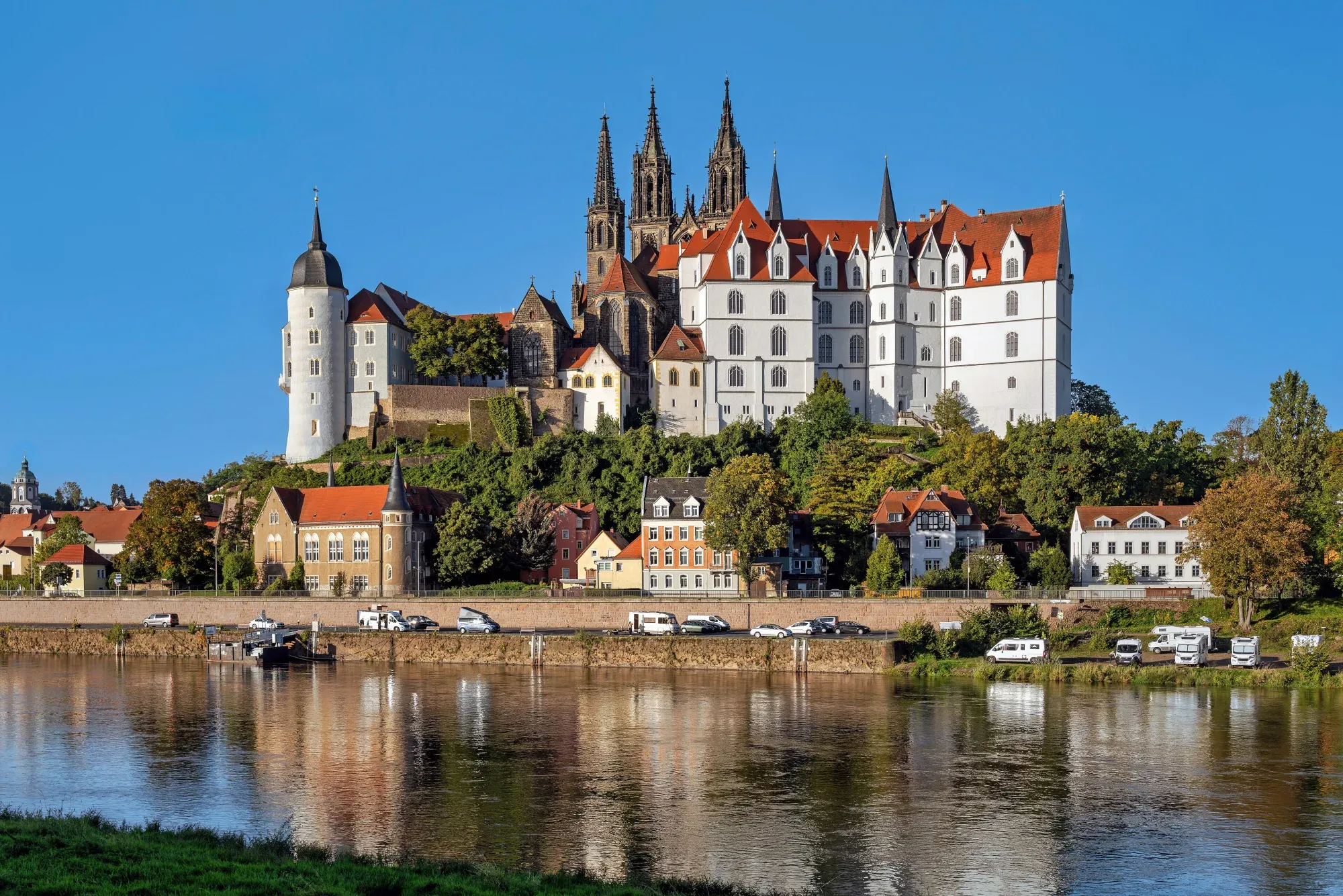
  • Albrechtsburg Castle and Meissen Cathedral above the Elbe in morning light
    Photo: Rolf Kranz, CC BY-SA 4.0
    Meissen

    The cathedral and Albrechtsburg Castle rise above the rooftops of the old town.

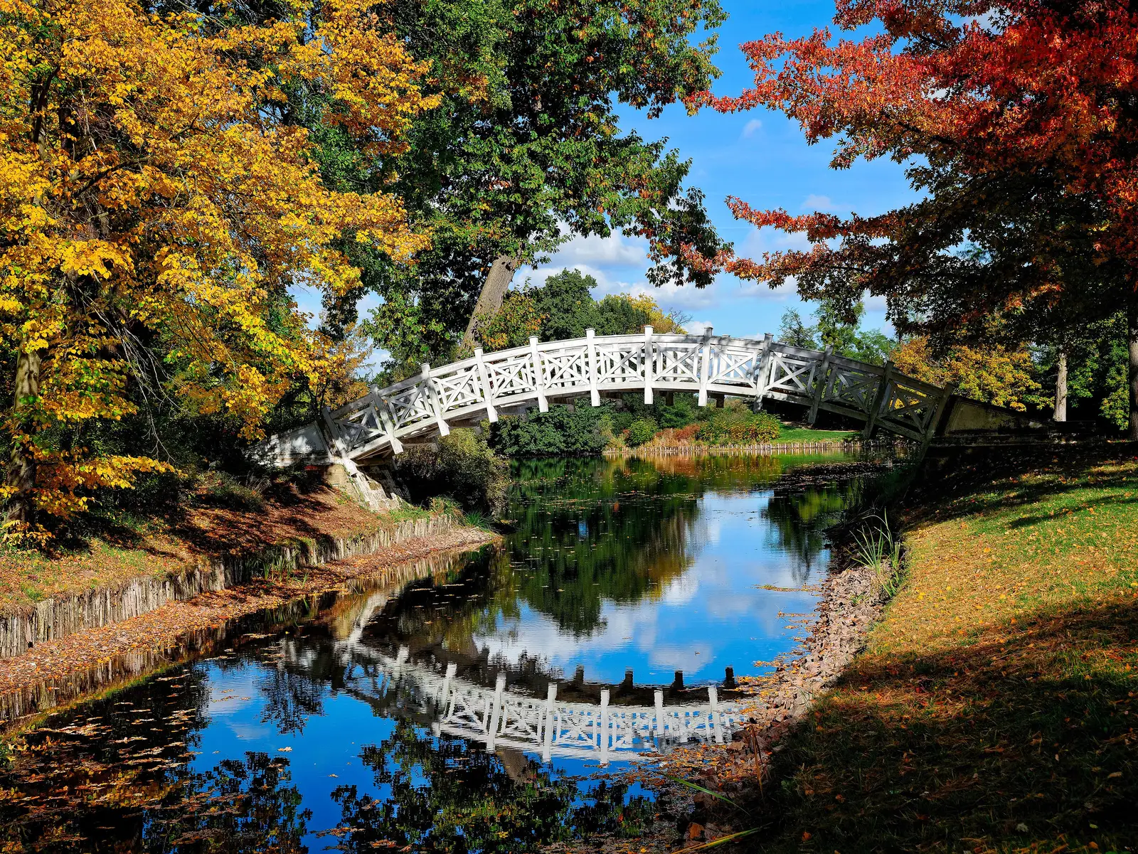
  • White Chinese Bridge over a canal in Wörlitz Park, surrounded by trees in autumn colours reflected in the water
    Photo: Rolf Kranz, CC BY-SA 4.0
    Garden Realm of Dessau-Wörlitz

    Parks and palaces of the UNESCO World Heritage Site lie right on the route.

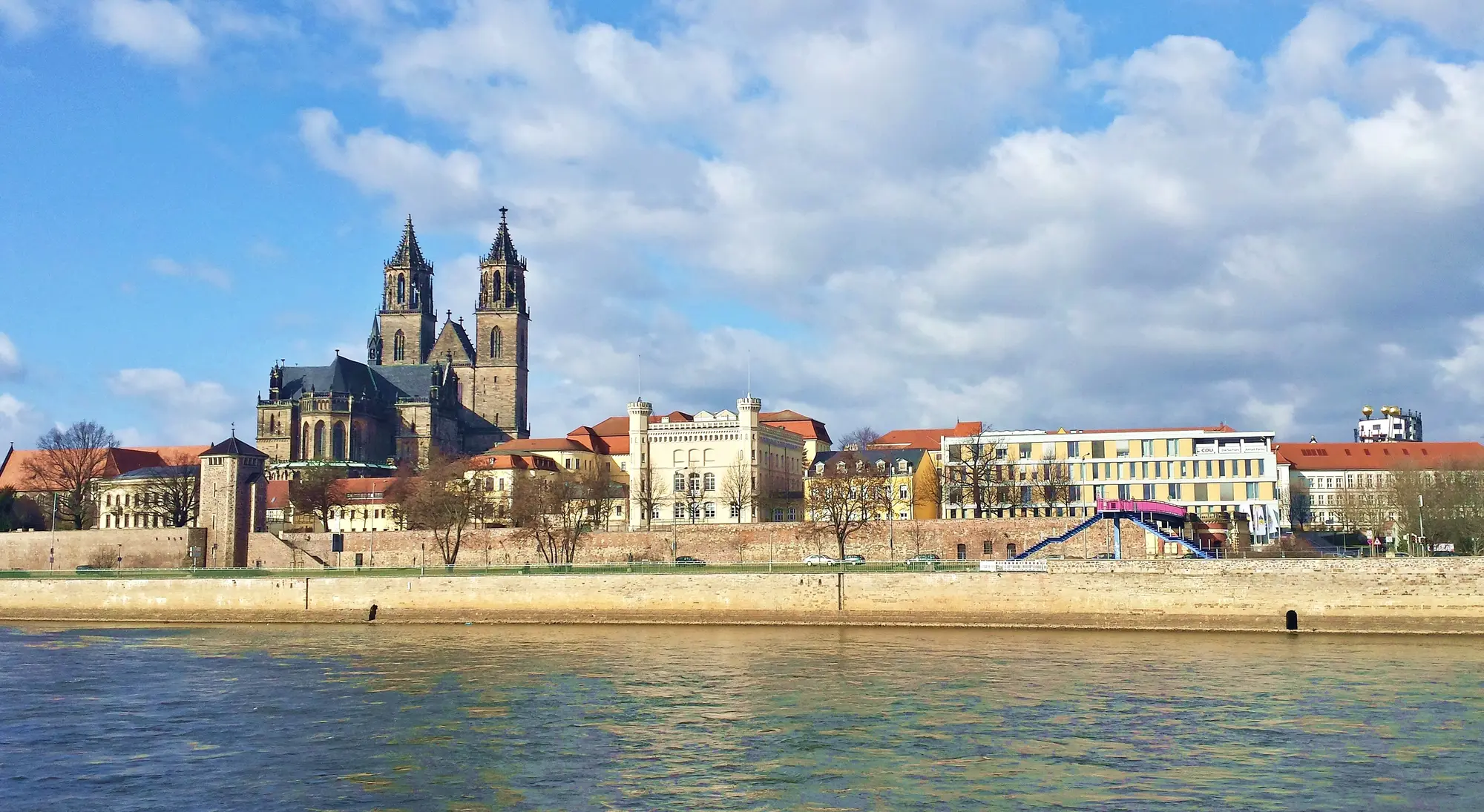
  • Magdeburg Cathedral above the Elbe riverbank, the river in front under a blue sky with clouds
    Photo: Goodway, CC BY-SA 4.0
    Magdeburg

    The Cathedral of St Maurice and St Catherine is one of the highlights along the route.

  • View from the imperial palace in Tangermünde across the Elbe and its floodplains
    Photo: Gottfried Hoffmann (Panoramio), CC BY 3.0
    Tangermünde

    A small town straight out of the Middle Ages, with towers and brick walls.

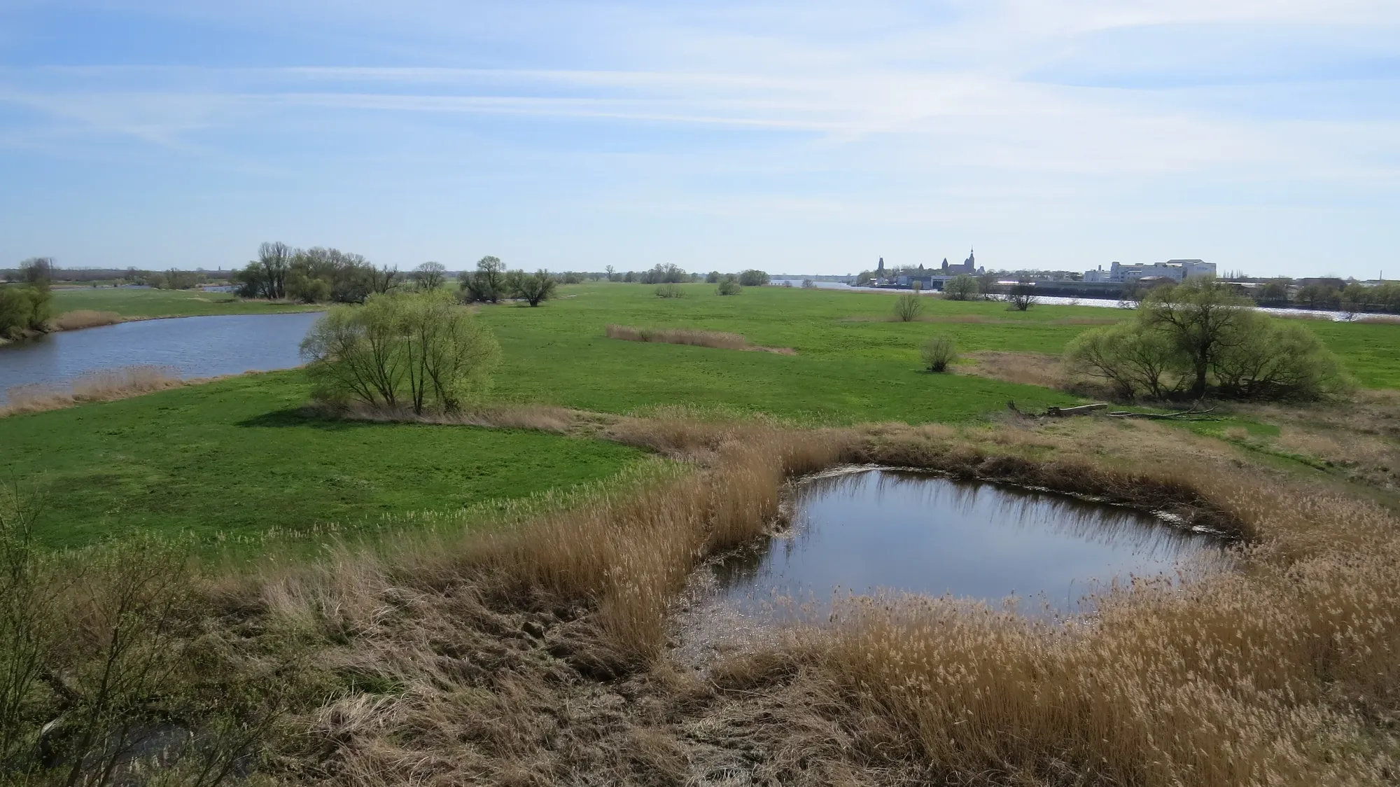
  • Elbe floodplain with an oxbow pond and reeds near Fischbeck, the river beyond
    Photo: Flodur63, CC BY 4.0
    Elbe River Landscape Biosphere Reserve

    Wide floodplains, few villages and a lot of sky, for many kilometres.

Notes on the route

  • Conditions on the route change all the time. The official notice page of the Elbe Cycle Route is authoritative.
  • In Dresden-Kaditz there is a diversion because of flood protection work, expected until the end of 2027.
  • Near Wittenberge a diversion leads around a bridge construction site, until 2029 according to the notice page.
  • Near Kreuzhorst and between Graditz and Kathewitz there are signposted diversions until summer 2027.
  • Some ferries take a winter break or stop running when the water is very high or very low. If in doubt, ask the operator.

No guarantee. Roadworks, closures and ferries change, current notes are published by the cycle route's operators.

Ride it yourself

Open in Pedalglobe Download route as GPX

“Open in Pedalglobe” takes you to the trip in the app. If you stay in Safari, tap “Open” in the banner at the top or download the tour file. The app splits the days by your pace, so the daily stops may differ from the stages here.

Open the GPX file with Pedalglobe and choose “Keep exactly (1:1)”. The route is then under “Tours”. With “Add to Trip …” you turn it into your own trip with days, climate and entry rules for your travel dates.

Plan it yourself: This trip and everything here: planned in Pedalglobe in a few minutes, with elevation profile, climate for every day and what applies at each border.

Pedalglobe on the App Store

You can also find new bike trips and short videos about them on Instagram, TikTok and YouTube.

Sources

Sources and check dates
  1. Elbe Cycle Route, whole route, checked on 7 November 2026
  2. Elbe Cycle Route, construction, diversions, ferries, checked on 7 November 2026
  3. Elbe Cycle Route, ferries, checked on 7 November 2026
  4. Elbe Cycle Route, stages Hamburg – Magdeburg, checked on 7 November 2026
  5. German Meteorological Service (DWD), monthly data 1991–2020, checked on 7 November 2026
  6. Deutsche Bahn, bike ticket for long-distance trains, checked on 7 November 2026
  7. DB Regio, bikes on regional trains, checked on 7 November 2026
  8. Saxon Nature Conservation Act, checked on 7 November 2026
  9. State of Schleswig-Holstein, biosphere reserves, checked on 7 November 2026

Photos

Checked on 7 November 2026. Corrected on 7 November 2026. Maps © OpenStreetMap contributors. Relief: © Mapterhorn and its sources

All trip ideas

More cycling trips

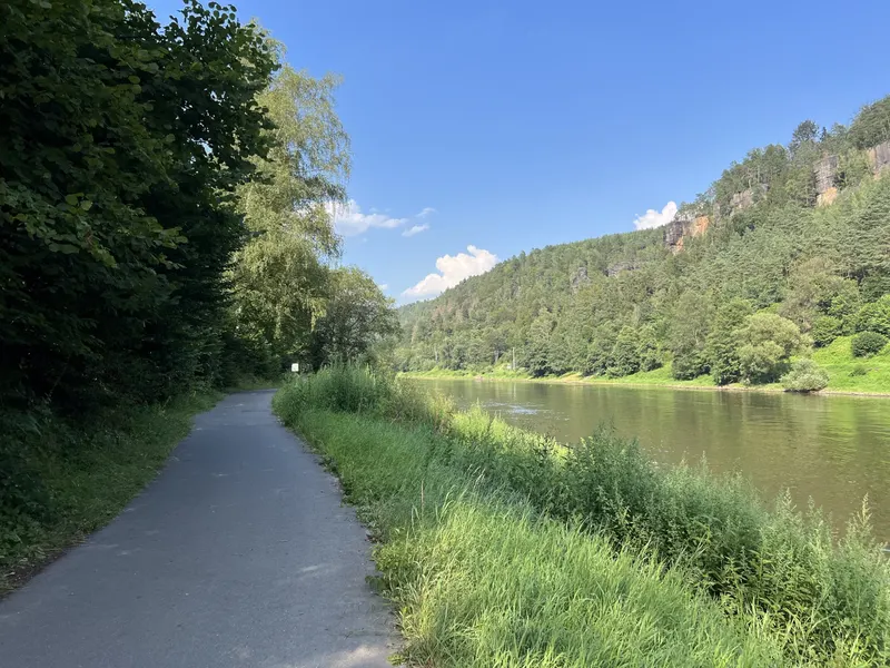
A narrow asphalt cycle path between trees and tall grass on the bank of the Elbe, opposite wooded slopes with sandstone cliffs under a blue sky

Difficulty: easyNew

Elbe and Vltava: Dresden – Prague

  • 232 kmDistance
  • 4 daysDays
  • May, June, SeptemberBest months
  • Germany, CzechiaCountries

232 km in four riding days up the Elbe, through the Elbe Sandstone Mountains and the Central Bohemian Uplands, past Mělník and up the Vltava to Prague.

Photo: Lukas Beck, CC BY 4.0, cropped, with text

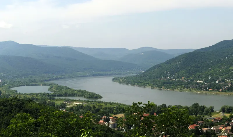
View from a wooded slope over the Danube Bend: the wide river curves between green hills, a side arm on the left, red roofs below

Difficulty: easyNew

Danube Cycle Path: Vienna – Budapest

  • 333 kmDistance
  • 7 daysDays
  • May, June, SeptemberBest months
  • Austria, Slovakia, HungaryCountries

333 km in seven riding days down the Danube, from Vienna via Bratislava and Győr through the Danube Bend to Budapest.

Photo: Philipp Weigell, CC BY 3.0, cropped, with text

See all cycling trips

ContentsOpen in Pedalglobe