


Difficulty: moderateNew
Georgia: Batumi – Tbilisi
- 417 kmDistance
- 7 daysDays
- May, JuneBest months
- GeorgiaCountry
417 km in seven riding days from the Black Sea over the Rikoti Pass to Tbilisi.
Photo: John Crane, CC BY 2.0, cropped, with text
Your next bike trip?
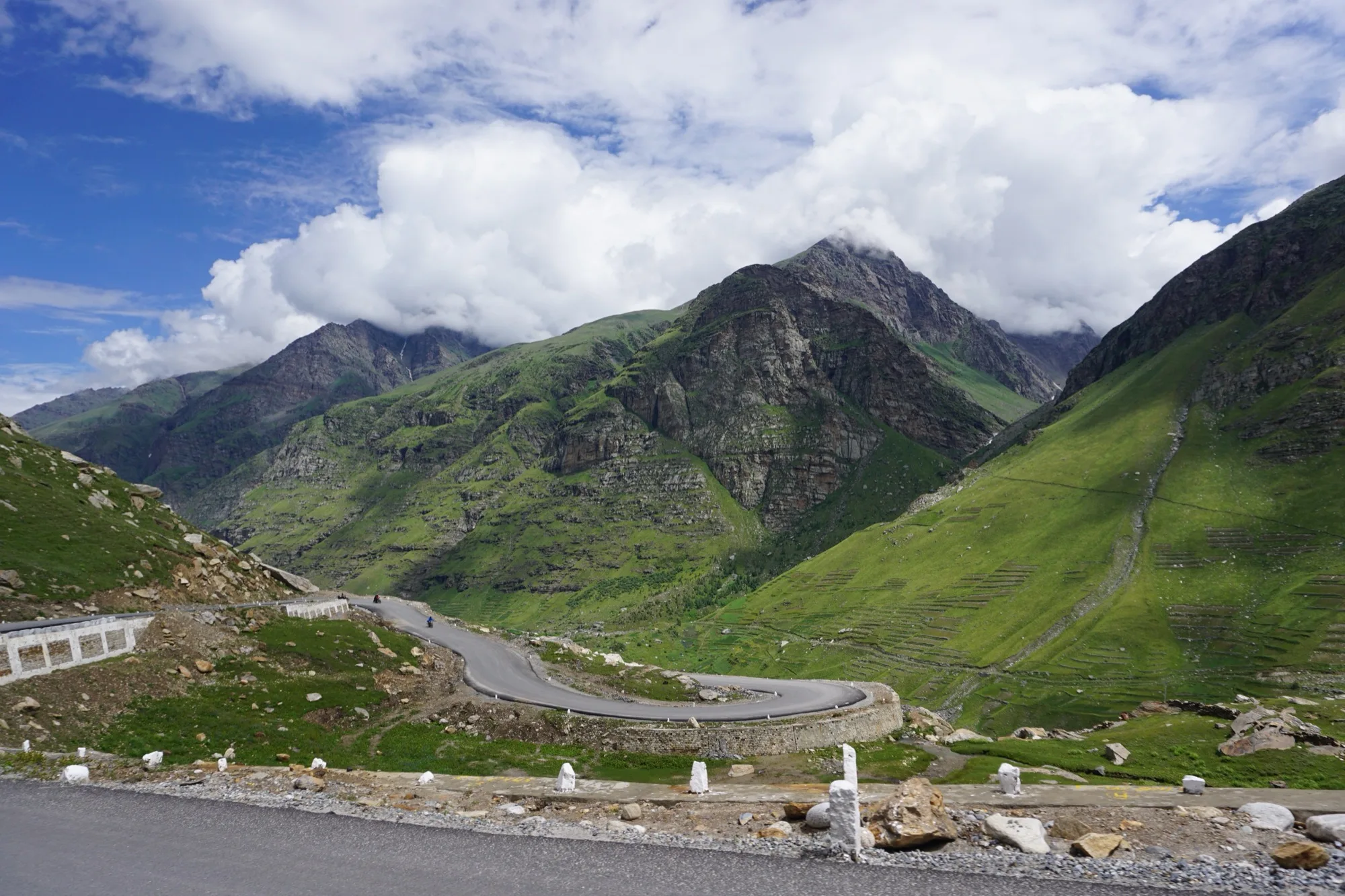
469 km and 14 riding days over five passes to Leh, always above 3,000 m from the second night on.
Photo: Lianguanlun, CC BY 4.0, cropped, with text

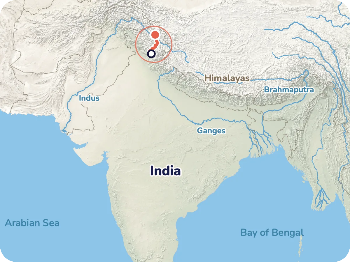
Map © OpenStreetMap contributors, OpenFreeMap, OpenMapTiles. Relief: Mapterhorn. Locator map: Natural Earth
From Manali in the green Kullu valley you climb in hairpins to the Rohtang La and then descend into drier Lahaul. After that you follow the Chandra and Bhaga valleys north and climb in steps over the Baralacha La, Nakee La, Lachung La and Tanglang La into the high desert of Ladakh. Finally you roll through the Indus valley to Leh. The highest point is the Tanglang La at 5,328 m.
The direction Manali to Leh is deliberate. After the Rohtang the climb goes in steps, and each night lies only a little higher than the one before. In the opposite direction you would start at 3,500 m with the Tanglang La soon ahead, and the protection of gradual acclimatisation would be wasted.
Length and ascent come from the route calculation in Pedalglobe, the elevations from a terrain model. There is no guarantee that the road is passable. Read the route notes before you plan.
Plan it yourself: This trip and everything here: planned in Pedalglobe in a few minutes, with elevation profile, climate for every day and what applies at each border.
12 km · 691 m of climbing
A short roll-in day on asphalt, through the traffic of Manali at the start. Plan two nights in Manali before day 1, to rest and assemble your bike. Sleeping altitude about 2,460 m.
22 km · 968 m of climbing
Hairpins and traffic, climbing in one go to about 3,310 m. This is the day with the biggest gain in sleeping altitude: about 850 m, of which roughly 300 m above 3,000 m. Reports mention roadside stops with rooms or tents in Marhi.
34 km · 902 m of climbing
Over the Rohtang La (about 3,980 m) and then a long descent into Lahaul. Start early, because the weather at the pass often turns fast from about 11 a.m. Beyond the pass the map shows gravel, and one report describes roadworks, a poor surface and falling rocks, so wear a helmet. Sleeping altitude about 3,090 m.
44 km · 1,124 m of climbing
Through the Chandra valley via Sissu to Keylong, the main town of Lahaul. According to the map the surface is asphalt all the way. Keylong has homestays and a bazaar. Sleeping altitude about 3,080 m. The first rest day follows.
29 km · 861 m of climbing
Into the Bhaga valley via Jispa to Darcha, the last village before the long stretch without shops. Stock up on everything here. Sleeping altitude about 3,350 m.
16 km · 594 m of climbing
A short day of about 16 km, so your body can keep up. Sleeping altitude about 3,760 m. You need to treat water from streams.
8 km · 321 m of climbing
The shortest day, only 8 km. You sleep at about 4,070 m, according to reports at seasonal roadside stops with solar power.
53 km · 867 m of climbing
Over the Baralacha La (about 4,900 m) to Sarchu. The lake Suraj Tal, source of the Bhaga, lies at the pass. According to one report stream crossings are best done before noon. Sleeping altitude about 4,300 m, in tents and seasonal camps. The second rest day follows.
48 km · 898 m of climbing
The Gata Loops with their 21 hairpins and on over the Nakee La. According to one report there is hardly any food on the way, so carry supplies from Sarchu. At about 4,750 m this is the highest place you sleep on the trip.
28 km · 356 m of climbing
Over the Lachung La (about 5,065 m) and down to Pang. One report describes a dusty track with army trucks, while the map mostly shows asphalt. Sleeping altitude about 4,510 m.
43 km · 251 m of climbing
Across the Moore Plains, about 40 km almost flat over a high plateau. According to one report a strong headwind often blows, so arrive before noon. Sleeping altitude about 4,630 m, according to reports in a seasonal tent camp.
54 km · 704 m of climbing
The Tanglang La at 5,328 m is the highest point of the trip, followed by a long descent. Turn back in good time if the weather turns bad. Sleeping altitude about 4,190 m.
43 km · 188 m of climbing
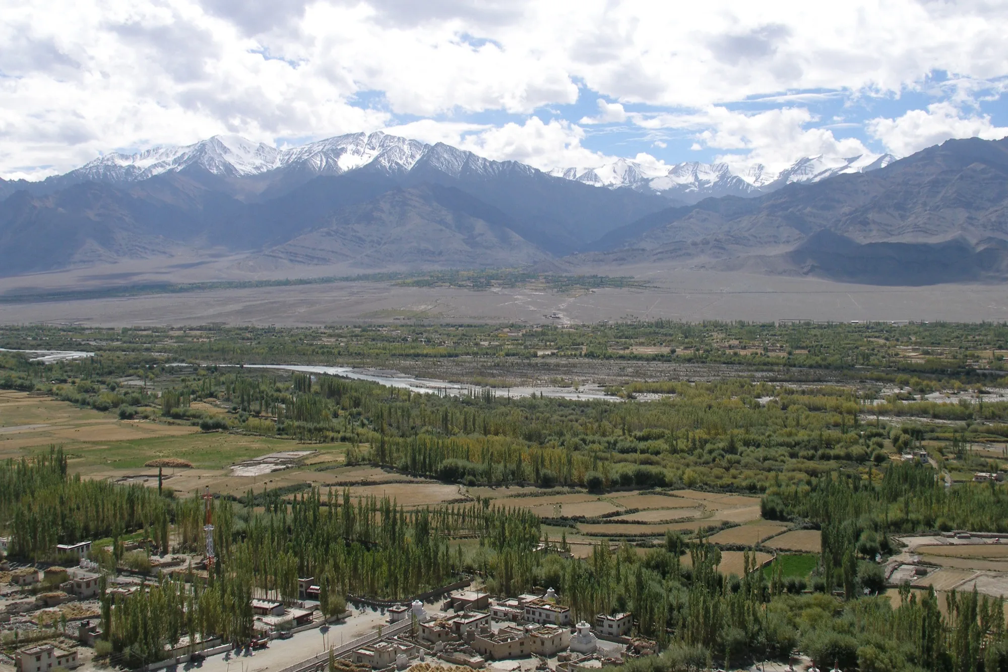
A long descent into the Indus valley via Upshi. Supplies become plentiful again. Sleeping altitude about 3,340 m.
35 km · 267 m of climbing
Through the Indus valley past monasteries, with city traffic at the end. The finish is at about 3,500 m. Plan rest days in Leh and a buffer for the flight home.

The map (OpenStreetMap) shows asphalt for almost the whole route. What the road is really like changes with winter, meltwater, mudslides and roadworks. High stretches of the road are cleared again every spring.
Between the Rohtang La and Koksar the map shows about 8 km of gravel, and for further stretches the entry is missing. A report from 2025 mentions roadworks, a poor surface and falling rocks there. Between the Nakee La and Pang one report describes a dusty track with army trucks. Neither is officially confirmed.
Overall: demanding. The days are short, the altitude makes it hard: from the second night always above 3,000 m, highest point 5,328 m.
The Pedalglobe scale: the same five features and levels 1 to 5 for every trip.
A high-mountain trip for experienced cycle tourers with a tent, experience at high altitude and knowledge of altitude sickness. The individual days are short, the altitude makes it hard. Long stretches have no network, little supply and no quick help. With symptoms the only answer is to descend, and on many stretches that means back over the same pass.
As a rule of thumb the US health agency CDC gives this: above 3,000 m your sleeping altitude rises by at most 500 m a day, and for every 1,000 m gained you add a rest day. Ladakh Tourism gives 300 to 500 m. The stages keep to this with one exception: on day 2 the sleeping altitude rises by about 850 m, of which roughly 300 m are above 3,000 m. Rest days follow after day 4 in Keylong and after day 8 in Sarchu.
Plan rest days in Leh. Leh district requires all tourists arriving there to rest for at least 48 hours. If you cycle to Leh you arrive acclimatised, but the rule names no exception. Get medical advice on altitude before the trip, which the German Foreign Office recommends from 2,300 m, and take a pulse oximeter.
Emergency oxygen is available at the hospital in Leh, and posts of the army and the border police along the road can help. There is no civilian air rescue in northern India, military operations are bureaucratic and slow according to the German Foreign Office, and hospitals often demand payment up front. With symptoms descend at once: even 300 m bring clear relief according to the CDC, and if things get worse Ladakh Tourism advises 500 to 1,000 m and oxygen.
Best months: July, August
The best time to leave Manali is between mid-July and the end of August. June works too, but then you meet snow walls and high streams. From mid-September the risk of snow on the passes grows, and in 2026 fresh snow briefly closed the road between Manali and Keylong as early as 1 September. A start in early September only works with a weather buffer and a fallback plan.
The monsoon reaches Himachal by the end of June and withdraws from the north from mid-September. In Manali 216 and 233 mm of rain fall in July and August on long-term average (1951 to 2000), and between Manali and the Rohtang La heavy rain, landslides and flooding are possible. The mountain ranges around Lahaul largely keep the monsoon out: Keylong gets about 600 mm a year, Leh about 70 mm.
The table shows the station Keylong in Lahaul (3,156 m, long-term average 1971 to 2000, source: India Meteorological Department IMD). It lies on riding day 4 and stands for the first half of the route. The places where you sleep between Patseo and Whiskey Nala are about 600 to 1,600 m higher. There are no official climate data for Sarchu, Pang and Debring, and according to reports the nights there are often below zero.
Leh, your destination, is dry in summer. On average for 2011 to 2024 it gets 14 mm in July and 9 mm in August, with 28 degrees by day and 15 at night. The values are long-term averages and say nothing about a single day. At the Rohtang La snow or storms often move in fast from about 11 a.m.
| Month | Day | Night | Precipitation | For cycling |
|---|---|---|---|---|
| January | 7 °C | -17 °C | 45 mm | poor |
| February | 6 °C | -18 °C | 68 mm | poor |
| March | 10 °C | -14 °C | 115 mm | poor |
| April | 15 °C | -7 °C | 82 mm | poor |
| May | 22 °C | -1 °C | 48 mm | poor |
| June | 26 °C | 3 °C | 26 mm | marginal |
| July | 27 °C | 5 °C | 61 mm | good |
| August | 27 °C | 7 °C | 50 mm | good |
| September | 26 °C | 1 °C | 31 mm | marginal |
| October | 22 °C | -4 °C | 12 mm | poor |
| November | 16 °C | -8 °C | 19 mm | poor |
| December | 12 °C | -14 °C | 49 mm | poor |
Winter, the passes are closed. In Keylong nights average minus 17 degrees.
Winter, in Lahaul most precipitation falls as snow.
Still winter, nights in Keylong average minus 14 degrees.
Depending on the year the road opens to light vehicles between late April and mid-May. Nights in Keylong still average minus 7 degrees.
The route opens in mid-May, in 2026 on 15 May, at the Rohtang La in 2023 only in mid-June. Nights are often still below zero.
Possible, but with snow walls and high streams. Nights at the high camps are often below zero.
Best time, especially from mid-July. Heavy rain is possible between Manali and the Rohtang La, drier from Keylong on.
Best time until the end of August. Monsoon on the south side, closures from landslides happen.
Early September only with a weather buffer and a fallback plan. From mid-September the risk of snow on the passes grows.
The season officially ends on 15 October, in practice the snow decides. Nights in Keylong average minus 4 degrees.
The season is over, nights in Keylong average minus 8 degrees.
Winter, nights in Keylong average minus 14 degrees.
You fly to Delhi, which is an approved entry point for the e-visa. From there night buses run to Manali, a ride of 13 to 14 hours. How your bike travels in the luggage hold is up to each operator depending on space, there is no official rule.
Plan two nights in Manali before day 1, to rest and assemble your bike.
From Leh you fly back to Delhi. The airport lies at 3,256 m, flights mostly leave in the morning, and cancellations due to weather are common. Plan two buffer days. The road via Kargil to Srinagar is ruled out because it runs through the area with a travel warning. You can only get back to Manali on the same road, as long as it is open.
What conditions the airline sets for your bike is not settled. Ask in advance about the fee, packaging and possible restrictions for Leh. According to one report a bike box is hard to find in Leh, so sort this out beforehand.
Manali and Keylong have shops and places to stay, after that it gets thin. According to reports full supplies are only back in Upshi and Leh. From Darcha on you find almost only seasonal roadside stops (dhabas) and tent camps, roughly every 40 to 50 km.
Plan cash for the stretch from Keylong on. Whether cash machines work along the way is not confirmed.
According to one report there is solar power at the roadside stops from Darcha on. Between Darcha and Upshi mobile coverage is hardly to be expected, and in the mountains GOV.UK calls it extremely unlikely. Download your maps to your phone beforehand.
Food is often available only in the evening. According to one report there is nothing between Sarchu and Whiskey Nala, so carry supplies from Sarchu. You need to treat water from streams, and the reports name no fixed water points.
From Darcha on you need your own tent and sleeping bag. Manali, Keylong and Leh have places to stay. Whether and where wild camping is allowed was not settled by the research, so ask locally.
Spare parts are only sensible to find in Manali and Leh, on the way at best motorcycle workshops (one report from 2025). Carry everything you need for the whole route.
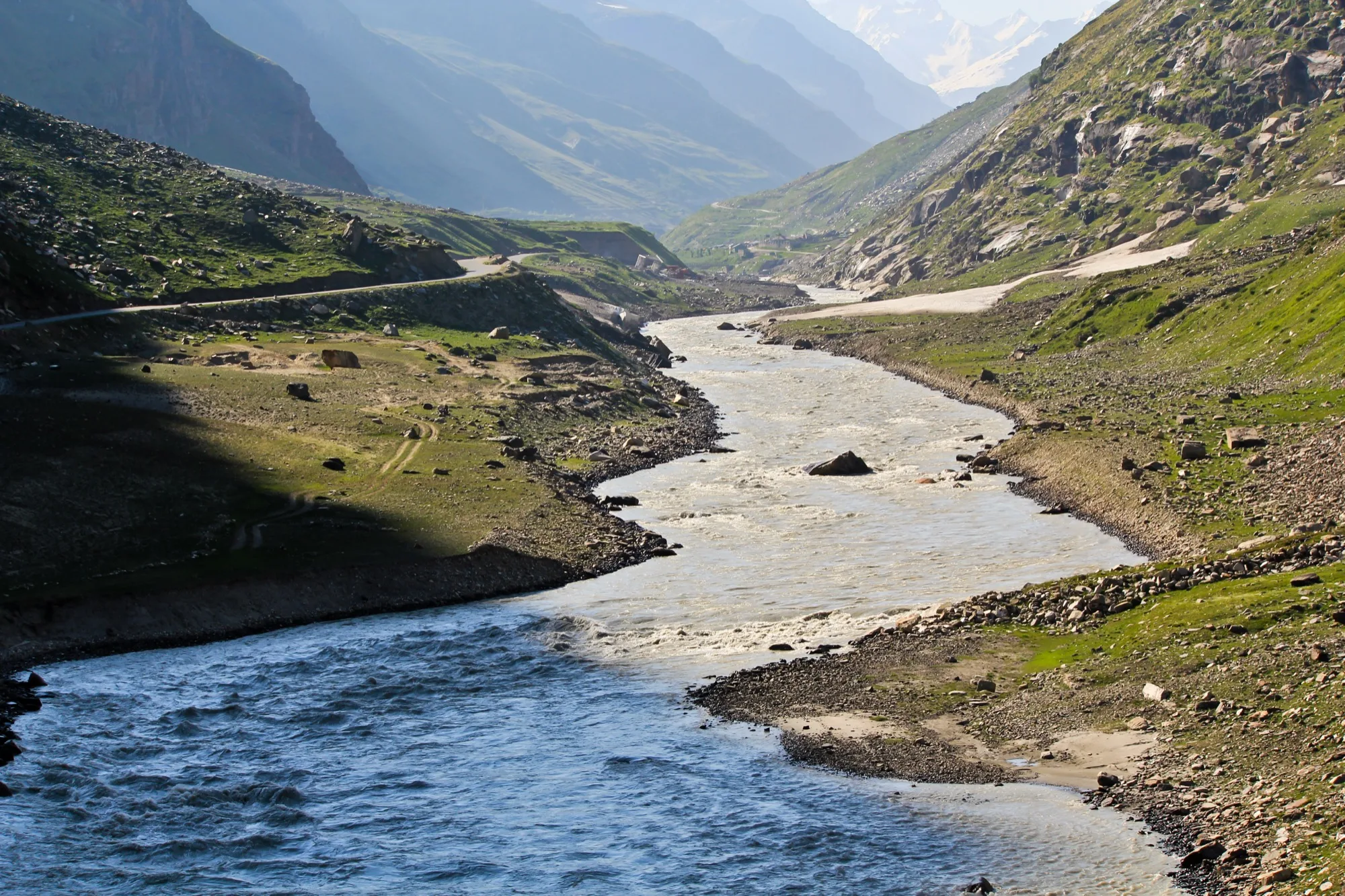
Beyond the Rohtang La a valley opens with fields, poplars and waterfalls, ice cold in winter.
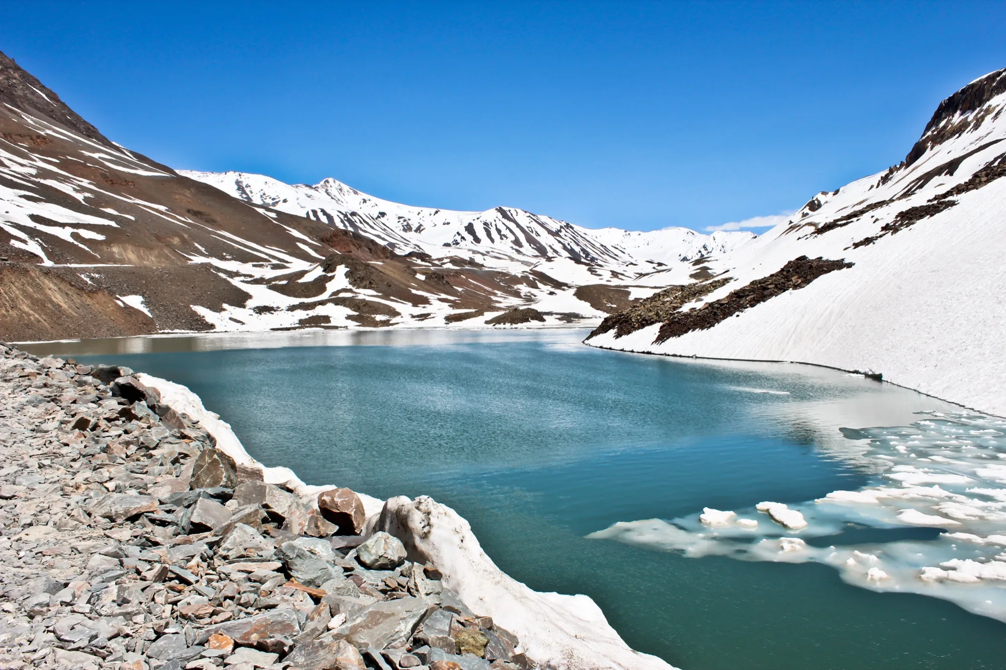
A lake lies at the pass, and the Bhaga rises from it. The pass is at about 4,900 m.
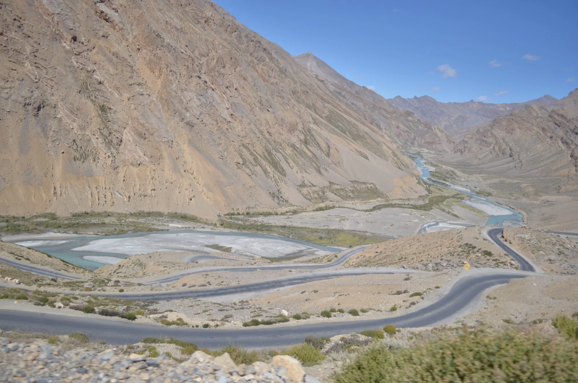
Around 21 hairpins lift the road up between Sarchu and the Nakee La.
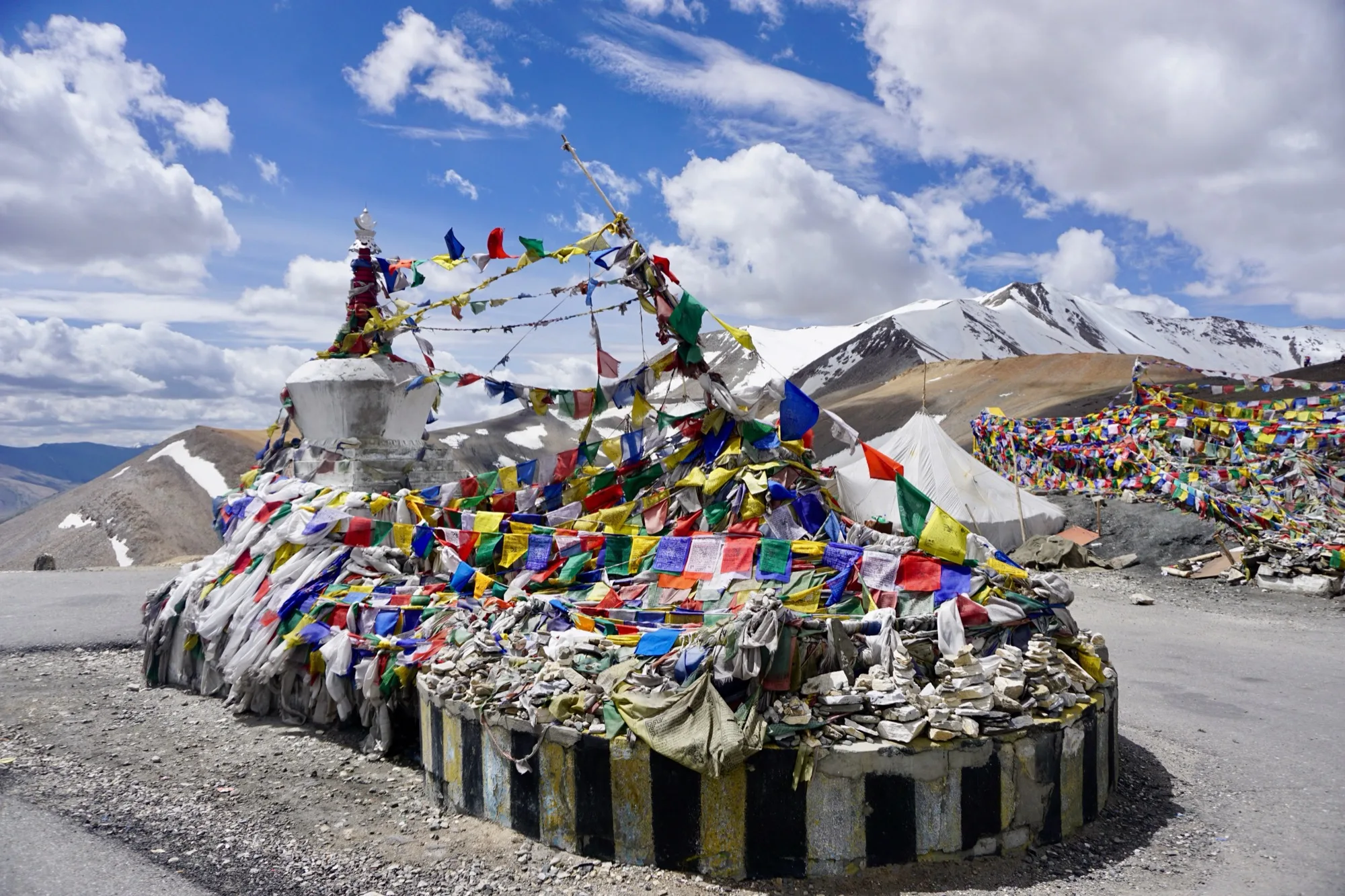
At 5,328 m the highest point of the trip, followed by a long descent into the Indus valley.
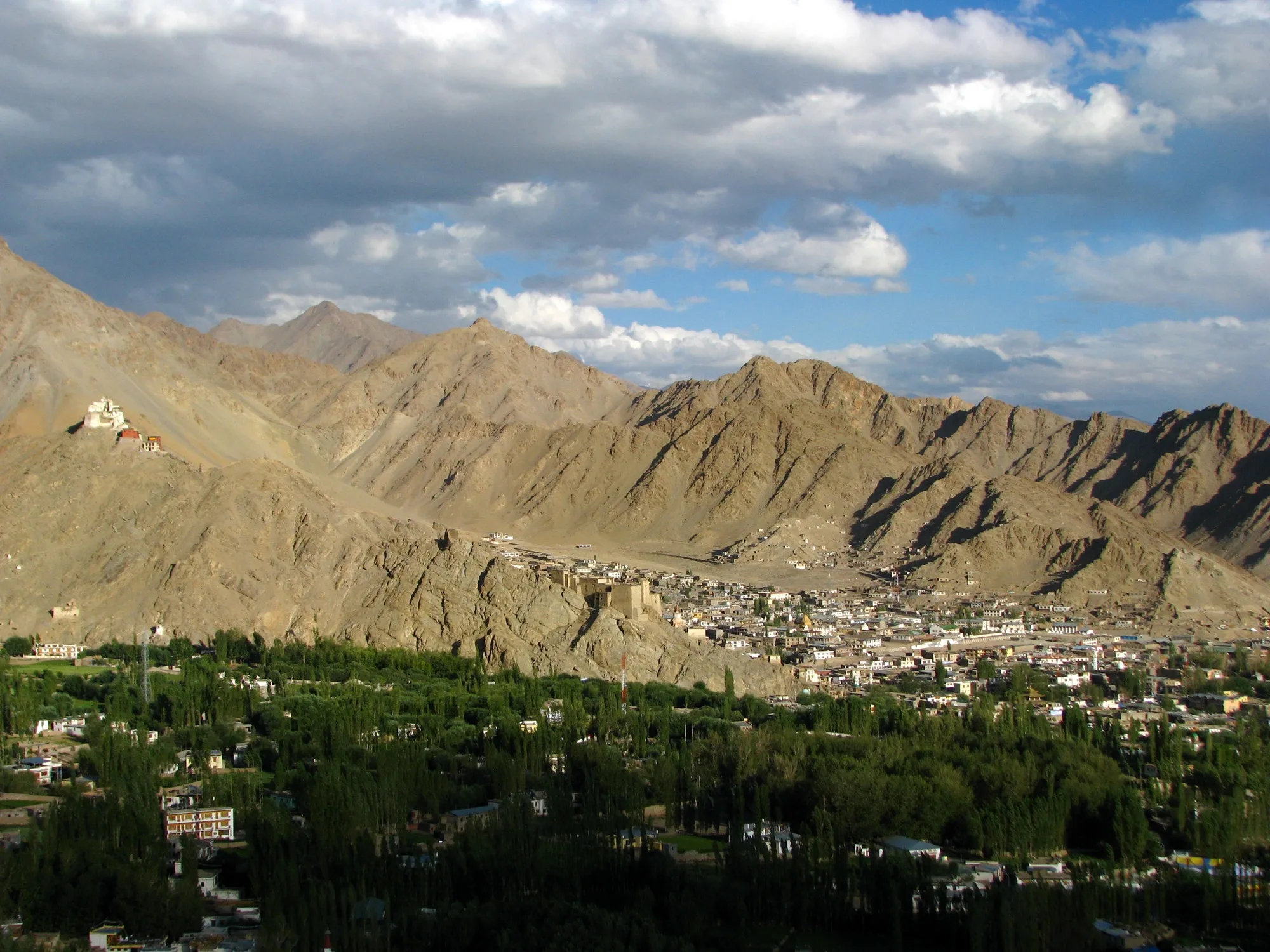
The finish lies at about 3,500 m in the Indus valley, with monasteries nearby, city traffic and the airport for the journey home.
No guarantee. What applies at a border can change. Check with the official sources before you set off.
No guarantee. Roadworks, closures and ferries change, current notes are published by the cycle route's operators.
Open in Pedalglobe Download route as GPX
“Open in Pedalglobe” takes you to the trip in the app. If you stay in Safari, tap “Open” in the banner at the top or download the tour file. The app splits the days by your pace, so the daily stops may differ from the stages here.
Open the GPX file with Pedalglobe and choose “Keep exactly (1:1)”. The route is then under “Tours”. With “Add to Trip …” you turn it into your own trip with days, climate and entry rules for your travel dates.
Plan it yourself: This trip and everything here: planned in Pedalglobe in a few minutes, with elevation profile, climate for every day and what applies at each border.
You can also find new bike trips and short videos about them on Instagram, TikTok and YouTube.
Checked on 8 November 2026. Corrected on 9 November 2026. Maps © OpenStreetMap contributors. Relief: © Mapterhorn and its sources
Difficulty: moderateNew
417 km in seven riding days from the Black Sea over the Rikoti Pass to Tbilisi.
Photo: John Crane, CC BY 2.0, cropped, with text
Difficulty: easyNew
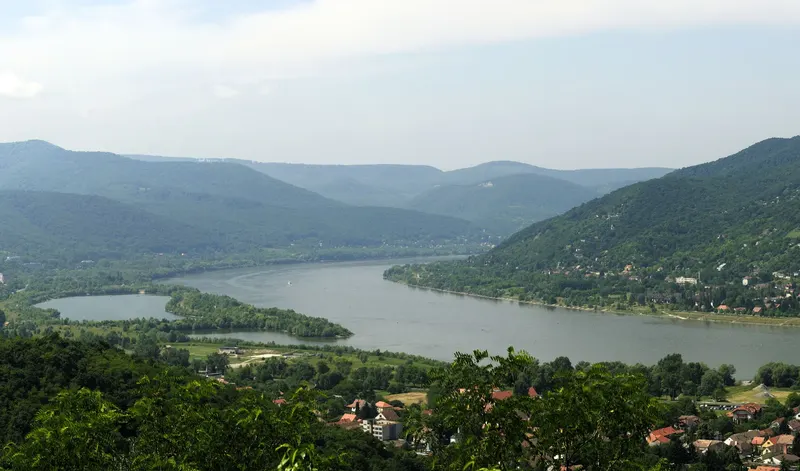
333 km in seven riding days down the Danube, from Vienna via Bratislava and Győr through the Danube Bend to Budapest.
Photo: Philipp Weigell, CC BY 3.0, cropped, with text
Difficulty: moderateNew

