Diese Seite gibt es auch auf Deutsch.

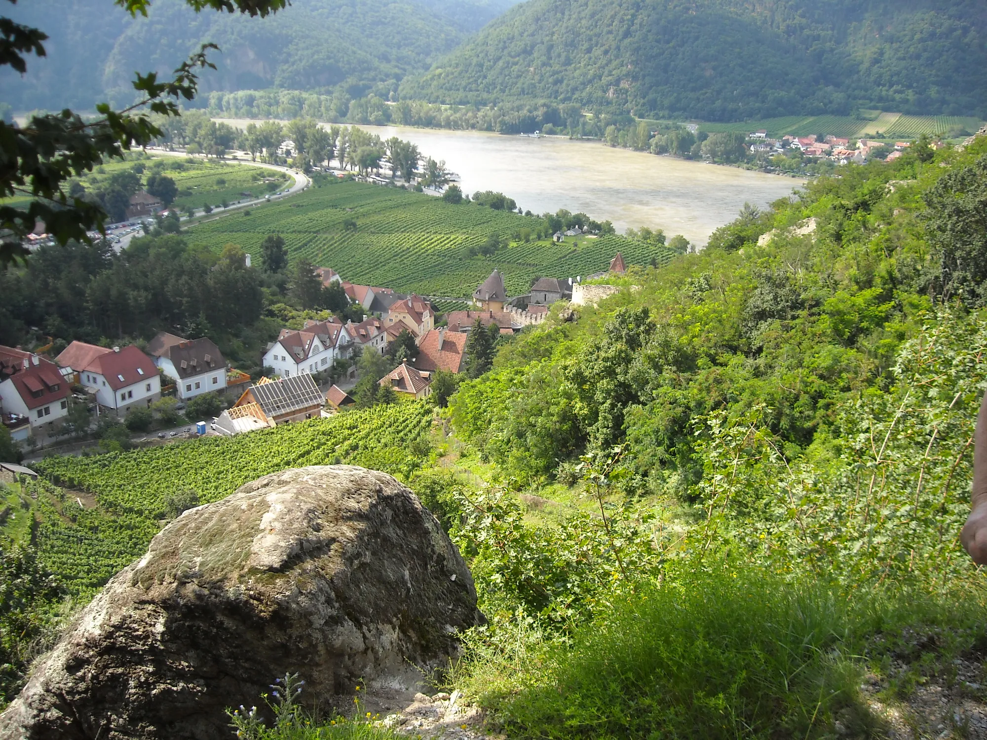
Vineyards above Weißenkirchen and the Danube in the Wachau

Your next bike trip?

Danube Cycle Path Passau – Vienna

317 km downstream, from the City of Three Rivers through the Wachau to Vienna, in five days.

  • Touring bikeBike
  • Germany, AustriaCountries

Photo: planola, CC BY 3.0, cropped, text added

The route

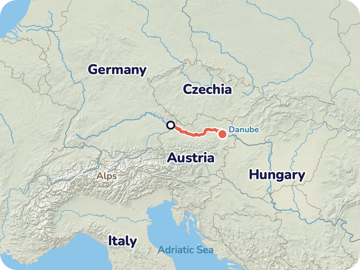
Map of the route from Passau via Linz, Grein, Dürnstein and Krems to Vienna
Locator map: the Danube Cycle Path from Passau to Vienna, north of the Alps.
  • Asphalt 307 km
  • Compacted gravel 4 km
  • Paved 4 km
  • Cobblestones 1 km
  • Loose surface 0.8 km
  • Grass and path 0.2 km

Map © OpenStreetMap contributors, OpenFreeMap, OpenMapTiles. Relief: Mapterhorn. Locator map: Natural Earth

In Passau the Danube, Inn and Ilz meet, and from here the river carries you all the way to Vienna. You roll through the narrow valley to the Schlögen loop, through Linz and the Strudengau, then into the Wachau with vineyards, apricot orchards and Melk Abbey above the river.

It is almost always gently downhill, and good to know: 97 percent of the route is paved. In a few places small ferries take you across to the other bank, which is part of the classic.

Plan it yourself: This trip and everything here: planned in Pedalglobe in a few minutes, with elevation profile, climate for every day and what applies at each border.

Pedalglobe on the App Store

Stage by stage

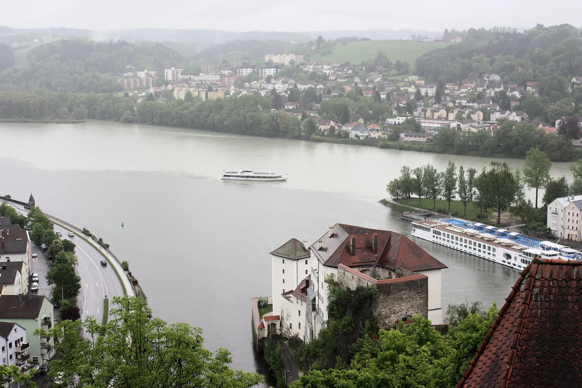
  • View from Oberhaus fortress over Passau, where the Danube and Inn meet
    Photo: Dguendel, CC BY 3.0

    Day 1: Passau – Aschach an der Donau

    70 km · 113 m of climbing

    321 m
    • Asphalt 69 km
    • Paved 0.4 km
    • Loose surface 0.2 km
    • Grass and path 0.2 km

    From the meeting of the Danube and Inn out into the narrow valley. Via Obernzell to the Schlögen loop, where the cross ferry takes you to the other bank. The day with the most climbing, and still flat.

  • Day 2: Aschach an der Donau – Mitterkirchen im Machland

    71 km · 26 m of climbing

    270 m
    • Asphalt 67 km
    • Compacted gravel 2 km
    • Paved 2 km
    • Loose surface 0.1 km

    Through the Eferding basin to Linz, then past Mauthausen into the wide Machland.

  • Day 3: Mitterkirchen im Machland – Spitz

    71 km · 26 m of climbing

    238 m
    • Asphalt 70 km
    • Paved 0.7 km

    Through the narrow Strudengau via Grein, past Persenbeug and Melk into the Wachau.

  • Day 4: Spitz – Muckendorf an der Donau

    72 km · 16 m of climbing

    219 m
    • Asphalt 67 km
    • Compacted gravel 2 km
    • Cobblestones 1 km
    • Paved 0.9 km
    • Loose surface 0.5 km

    The finest day: wine terraces, Dürnstein, Krems. Then the land opens up towards Tulln.

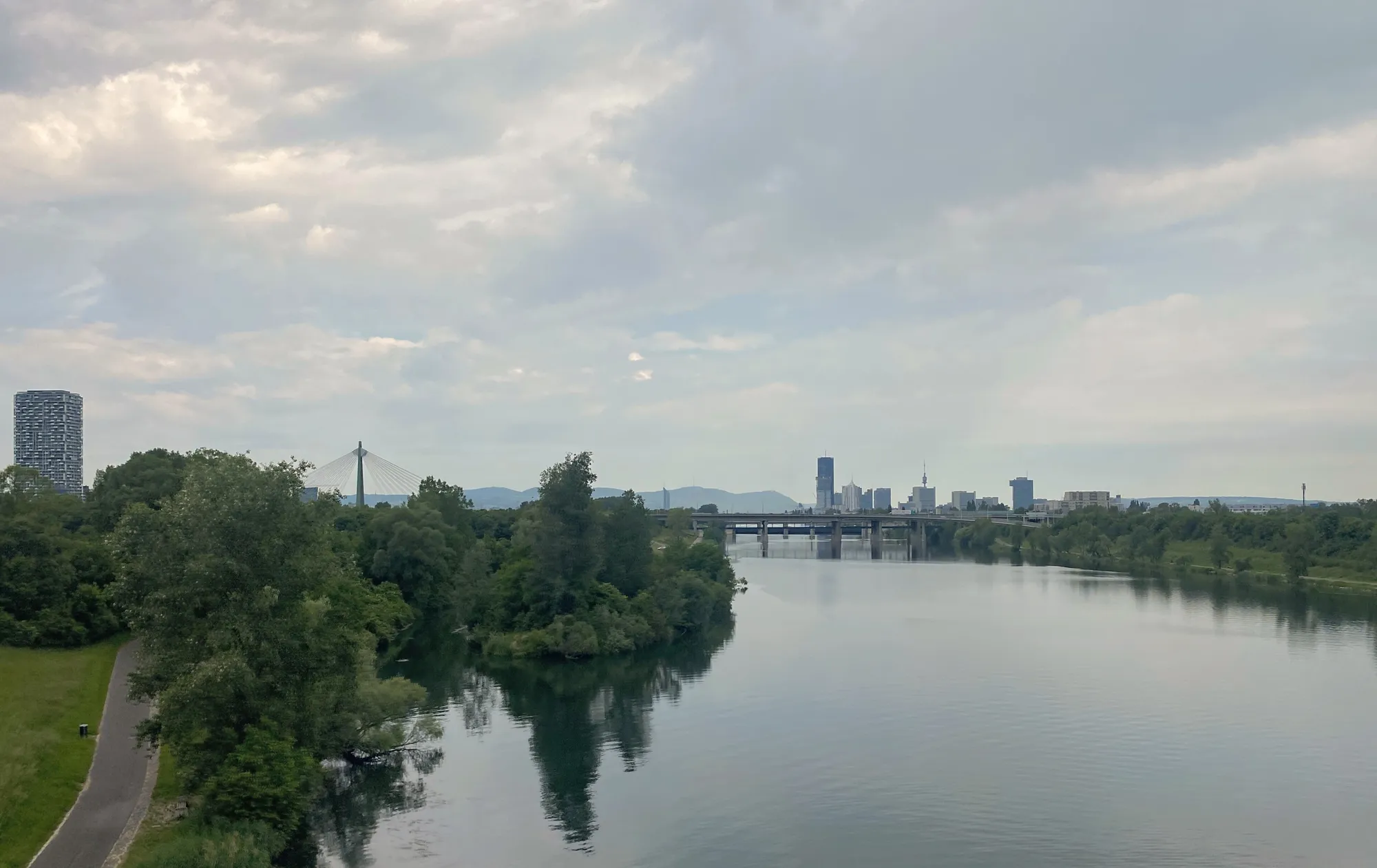
  • The New Danube in Vienna with the skyline behind
    Photo: Hangman'sDeath, CC0

    Day 5: Muckendorf an der Donau – Vienna

    33 km · 0 m of climbing

    178 m
    • Asphalt 33 km

    A short final day via Klosterneuburg and the Danube Island into the centre of Vienna.

The ground under your tyres

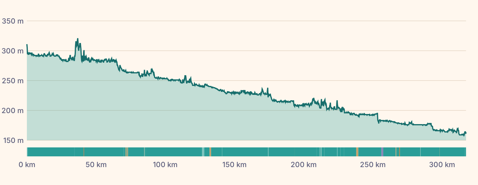
Elevation profile, gently falling almost all the way from 300 to 160 m

Almost entirely asphalt on dedicated cycle paths and quiet riverside roads. Short stretches of compacted gravel, a few metres of cobbles in the old towns.

Difficulty and who it suits

Overall: easy. Flat, downstream and almost all asphalt.

  • Distance63 km per riding day
  • Climbing57 m per 100 km, flat
  • Surface98 % sealed surface
  • Traffic85 % away from roads
  • Self-sufficiencyvillages and inns almost everywhere along the way

The Pedalglobe scale: the same five features and levels 1 to 5 for every trip.

Flat and downstream, almost all asphalt. One of the easiest bike trips in Europe, ideal for a first tour.

Who it suits

  • anyone riding several days with luggage for the first time
  • families, with shorter days
  • e-bikes, touring and trekking bikes

When to go

Best months: May, June, September

×Jan×Feb×Mar!Apr✓May✓Jun!Jul!Aug✓Sep!Oct×Nov×Dec3°6°11°17°21°25°27°26°21°15°8°4°-2°-1°2°6°10°14°16°15°11°7°3°-1°
  • ✓good
  • !marginal
  • ×poor
  • Day °C
  • Night °C
  • Precipitation (mm)

Most pleasant in May, June and September: 20 to 25 degrees in the day, mild nights. July and August get hot in the valley, with afternoon thunderstorms. These are long-term averages, not a forecast.

All values as a table

Climate by month (long-term average)

MonthDayNightPrecipitationFor cycling
January3 °C-2 °C40 mmpoor
February6 °C-1 °C34 mmpoor
March11 °C2 °C49 mmpoor
April17 °C6 °C42 mmmarginal
May21 °C10 °C79 mmgood
June25 °C14 °C80 mmgood
July27 °C16 °C87 mmmarginal
August26 °C15 °C81 mmmarginal
September21 °C11 °C61 mmgood
October15 °C7 °C47 mmmarginal
November8 °C3 °C43 mmpoor
December4 °C-1 °C42 mmpoor
  • Heat in the Wachau vineyards in high summer, with little shade.
  • Mostly a westerly tailwind, but headwind from the east on about one day in three.
Month by month

January

Cold, many ferries take a break.

February

Still winter on the river.

March

First mild days, often frost at night.

April

Spring in the Wachau, apricot blossom, nights still fresh.

May

Green and mild, the best season begins.

June

Long days, pleasantly warm.

July

Hot in the Wachau, afternoon thunderstorms.

August

Warm, plenty of riders on the path.

September

Grape harvest, mild days, quieter than summer.

October

Autumn colours, cool nights, ferries until late October.

November

Short and wet, the season is over.

December

Winter break on the river.

Variants

Passau – Linz only · 97 km

The first half with the Schlögen loop, in two days.

The other bank

Almost everywhere the path runs on both banks. Bridges and small ferries let you switch.

Wachau on the south bank

Quieter, with Aggstein and Rossatz, opposite Dürnstein.

On to Bratislava · 67 km

Through the Donau-Auen National Park to the Slovak capital.

Getting there and back by train

Getting there

Passau is well connected by train. Bikes on long-distance trains need a bike ticket with a reservation.

Getting back

Back from Vienna by train, or in summer with the bike bus from Klosterneuburg to Passau.

Your bike on the train

ÖBB long-distance trains require a bike ticket and a reservation.

Food and places to sleep

Villages, inns and places to stay line the route. Hardly any stretch is longer than an hour without a stop.

Places to sleep

Plenty of guesthouses and campsites for cyclists. Wild camping is banned in Vienna and in the Lower Austrian countryside, in Upper Austria the municipalities decide.

Along the way

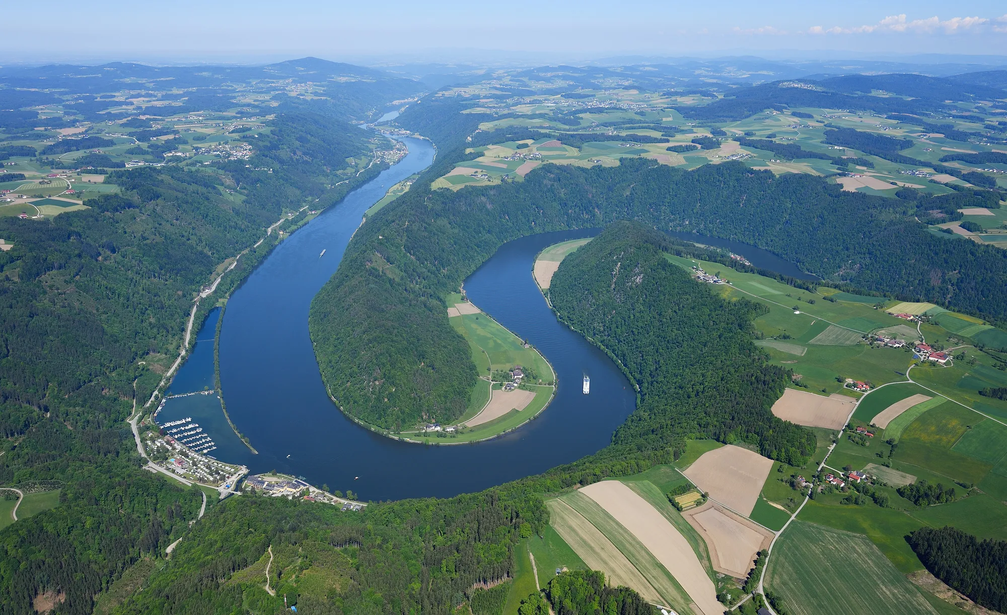
  • Aerial view of the Schlögen loop, the Danube turning sharply through wooded slopes
    Photo: Carsten Steger, CC BY-SA 4.0
    Schlögen loop

    The river makes a tight U-turn through the Mühlviertel, and a small ferry takes you to the other bank.

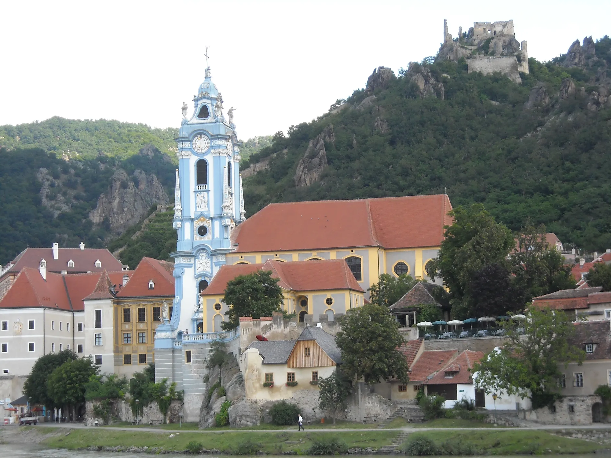
  • Abbey church with its blue tower and the castle ruin above Dürnstein
    Photo: planola, CC BY 3.0
    Dürnstein

    Blue church tower, castle ruin and wine terraces: the picture of the Wachau.

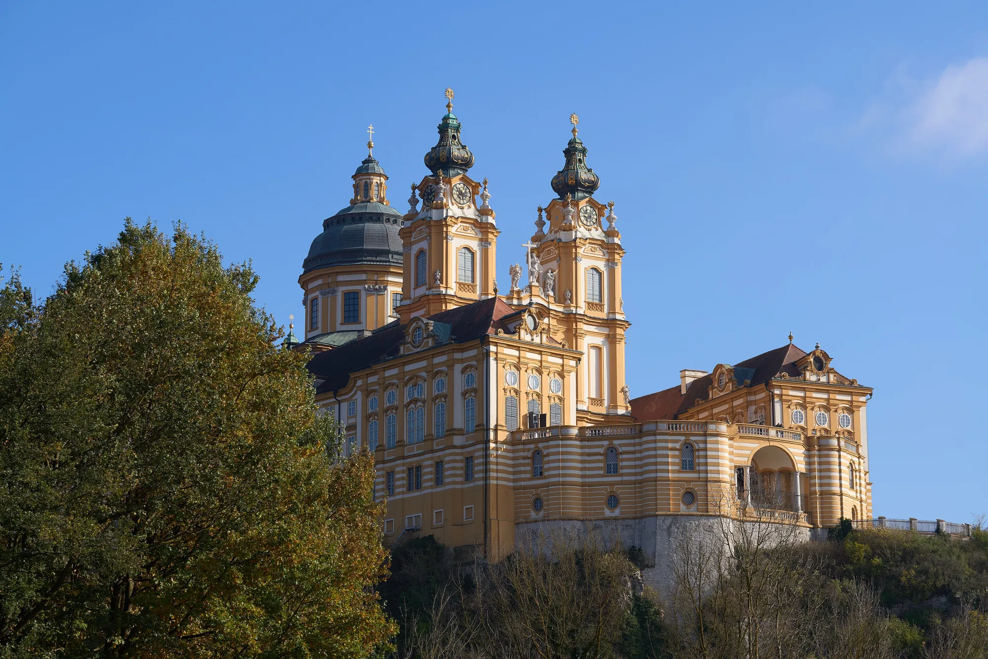
  • The yellow baroque Melk Abbey above the valley in autumn
    Photo: Conny Duck, CC BY 4.0
    Melk Abbey

    The baroque monastery sits in yellow splendour above the Danube.

Across the borders

  • Austria: No visa needed. Germany currently runs checks at the border behind Passau, keep your ID at hand. (as of 8 November 2026)

No guarantee. What applies at a border can change. Check with the official sources before you set off.

Notes on the route

  • Many small ferries only run from April to October.
  • For the way back there is a summer bike bus from Klosterneuburg to Passau, plus trains with a bike ticket.

No guarantee. Roadworks, closures and ferries change, current notes are published by the cycle route's operators.

Ride it yourself

Open in Pedalglobe Download route as GPX

“Open in Pedalglobe” takes you to the trip in the app. If you stay in Safari, tap “Open” in the banner at the top or download the tour file. The app splits the days by your pace, so the daily stops may differ from the stages here.

Open the GPX file with Pedalglobe and choose “Keep exactly (1:1)”. The route is then under “Tours”. With “Add to Trip …” you turn it into your own trip with days, climate and entry rules for your travel dates.

Plan it yourself: This trip and everything here: planned in Pedalglobe in a few minutes, with elevation profile, climate for every day and what applies at each border.

Pedalglobe on the App Store

You can also find new bike trips and short videos about them on Instagram, TikTok and YouTube.

Sources

Sources and check dates
  1. Upper Austria Tourism, Danube Cycle Path, checked on 8 November 2026
  2. Danube Lower Austria, Danube Cycle Path, checked on 8 November 2026
  3. Austrian National Tourist Office, Danube Cycle Path, checked on 8 November 2026
  4. GeoSphere Austria, climate data 1991–2020, checked on 8 November 2026
  5. German Federal Foreign Office, Austria, checked on 8 November 2026
  6. ÖBB, bikes on trains, checked on 8 November 2026

Photos

Checked on 8 November 2026. Maps © OpenStreetMap contributors. Relief: © Mapterhorn and its sources

All trip ideas

More cycling trips

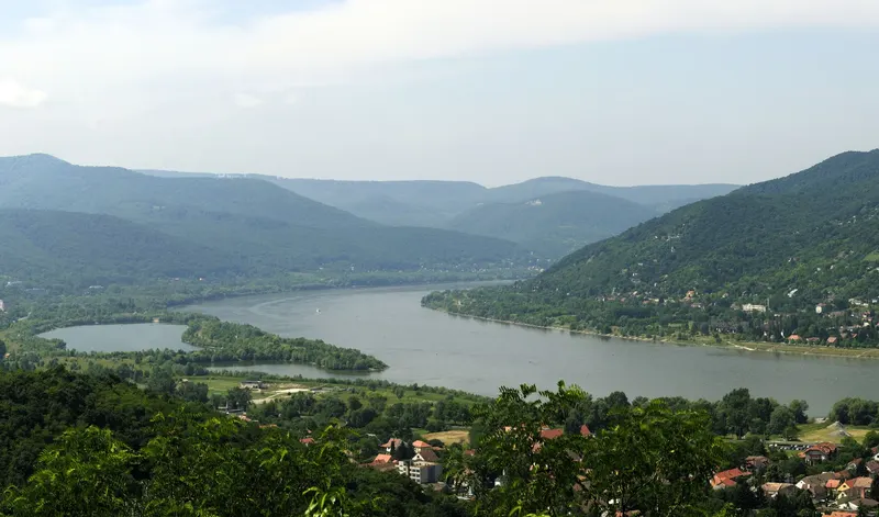
View from a wooded slope over the Danube Bend: the wide river curves between green hills, a side arm on the left, red roofs below

Difficulty: easyNew

Danube Cycle Path: Vienna – Budapest

  • 333 kmDistance
  • 7 daysDays
  • May, June, SeptemberBest months
  • Austria, Slovakia, HungaryCountries

333 km in seven riding days down the Danube, from Vienna via Bratislava and Győr through the Danube Bend to Budapest.

Photo: Philipp Weigell, CC BY 3.0, cropped, with text
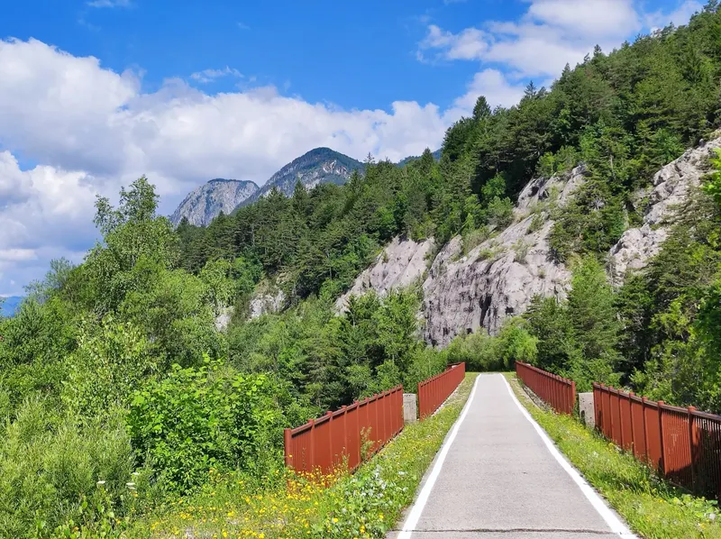
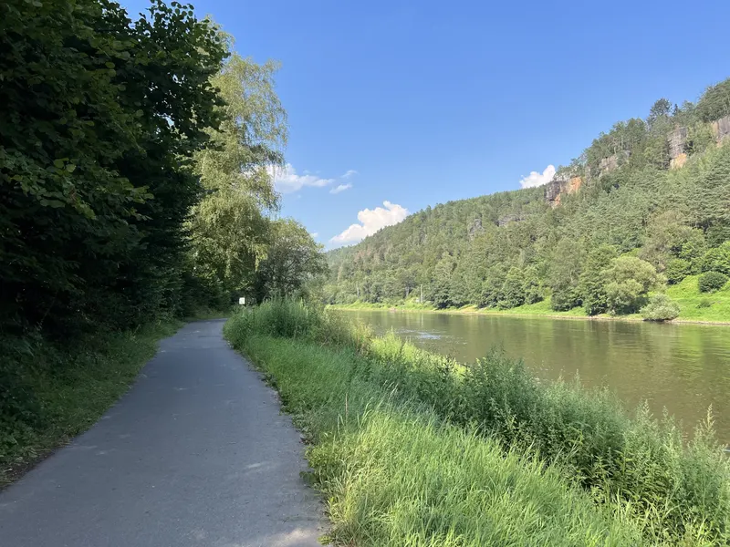
A narrow asphalt cycle path between trees and tall grass on the bank of the Elbe, opposite wooded slopes with sandstone cliffs under a blue sky

Difficulty: easyNew

Elbe and Vltava: Dresden – Prague

  • 232 kmDistance
  • 4 daysDays
  • May, June, SeptemberBest months
  • Germany, CzechiaCountries

232 km in four riding days up the Elbe, through the Elbe Sandstone Mountains and the Central Bohemian Uplands, past Mělník and up the Vltava to Prague.

Photo: Lukas Beck, CC BY 4.0, cropped, with text

See all cycling trips

ContentsOpen in Pedalglobe